UN/LOCODE hub · Italy
ITRSN

Rossano

39.5667°, 16.6333°
5,194
Population
2
Transport functions

Transport Functions

Rail
Road
UN/LOCODE

Hub Profile

Place type
District seat
GeoNames
Region
Calabria
GeoNames
Population
5,194
GeoNames
Time zone
Europe/Rome
GeoNames
Elevation
270 m
GeoNames

Location

Location of ITRSN
Natural Earth 10m (public domain) · Calabria · ITRSN · 39.57, 16.63GoogleOSMYandex

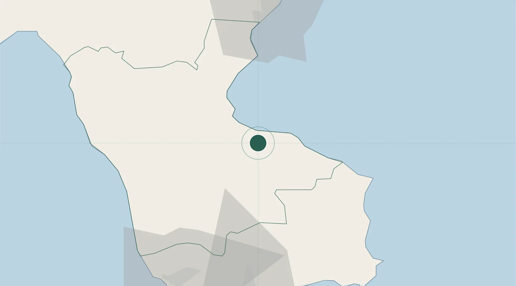
Nearby Logistics Neighbours

Cities
  1. 1Corigliano Calabro11 km
  2. 2Cariati28 km
  3. 3Bisignano31 km
  4. 4Luzzi33 km
  5. 5Trebisacce34 km
Nearest neighbours — logibook spatial index (haversine) over the source coordinates
Ports
  1. 1Corigliano Calabro15 km
  2. 2Ciro Marina48 km
  3. 3Crotone69 km
  4. 4Vibo Valentia Marina103 km
  5. 5Taranto111 km
Nearest neighbours — logibook spatial index (haversine) over the source coordinates
Trade Zones
  1. 1Calabria Special Economic Zone45 km
  2. 2Basilicata Special Economic Zone141 km
  3. 3Adriatic Special Economic Zone (Foggia-Molise)174 km
  4. 4Puglia (Apulia) Special Economic Zone Area182 km
  5. 5Vlora Technical and Economic Development Area261 km
Nearest neighbours — logibook spatial index (haversine) over the source coordinates
DatabookThe Record of Consolidated Knowledge
Italy beyond logistics?
Browse databook

All Sources

LocationsUN/LOCODE
UN/LOCODE — free
LocationsGeoNames
CC BY 4.0
Portsthe NGA World Port Index
Public domain (US gov)
AirportsOurAirports
Public domain
Trade Zonesthe World Bank SEZ database
CC BY 4.0
Trade ZonesOpen Zone Map
CC BY
← Italy locations