Transport Functions
Port
Rail
Road
Hub Profile
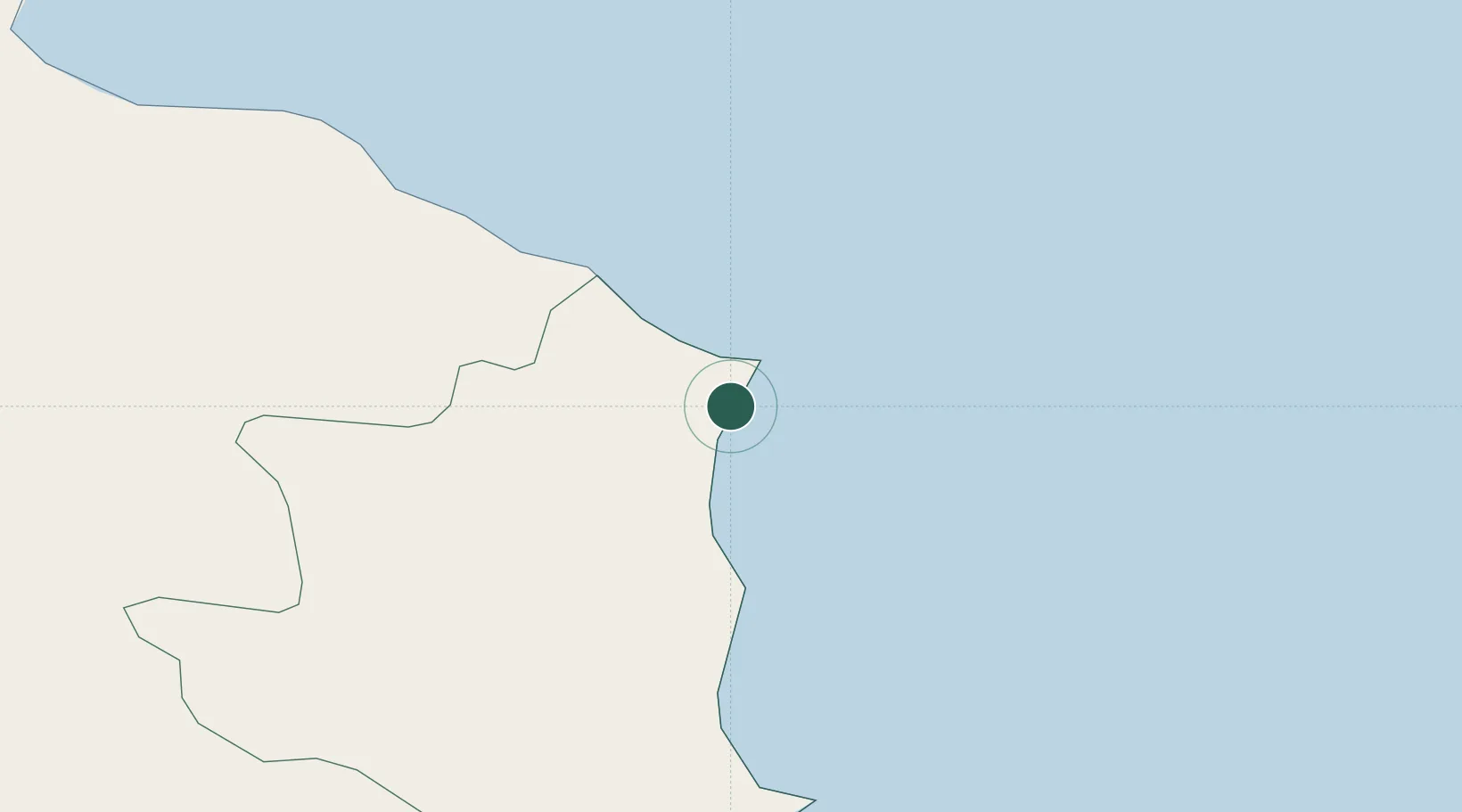
Place type
District seat
Region
Calabria
Population
14,840
Time zone
Europe/Rome
Elevation
5 m
Location
Nearby Logistics Neighbours
Cities
- 1Cariati22 km
- 2Rocca di Neto23 km
- 3Crotone32 km
- 4Rossano48 km
- 5Corigliano Calabro59 km
Ports
- 1Crotone32 km
- 2Corigliano Calabro62 km
- 3Gallipoli106 km
- 4Vibo Valentia Marina112 km
- 5Taranto122 km
Airports
DatabookThe Record of Consolidated Knowledge
Italy beyond logistics?