UN/LOCODE hub · Italy
ITCGC
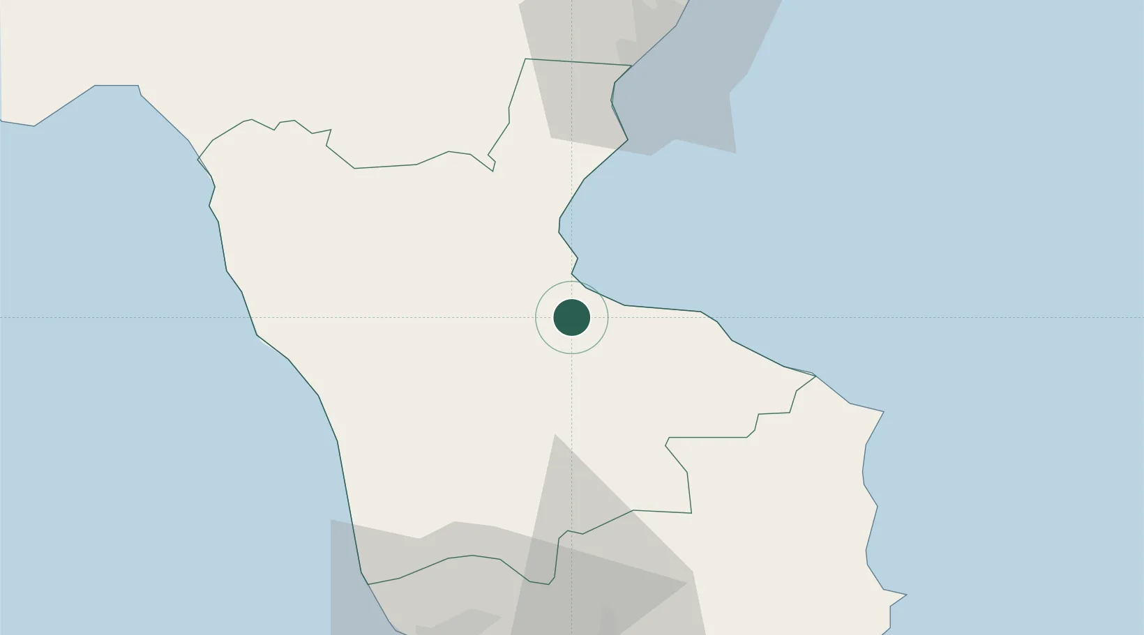
Corigliano Calabro
39.6000°, 16.5167°
5,402
Population
2
Transport functions
Transport Functions
Port
Road
Hub Profile
Place type
District seat
Region
Calabria
Population
5,402
Time zone
Europe/Rome
Elevation
210 m
Location
Nearby Logistics Neighbours
Cities
- 1Rossano11 km
- 2Bisignano22 km
- 3Luzzi26 km
- 4Trebisacce30 km
- 5Cariati39 km
Ports
- 1Ciro Marina59 km
- 2Crotone79 km
- 3Vibo Valentia Marina103 km
- 4Taranto113 km
- 5Gallipoli135 km
Airports
DatabookThe Record of Consolidated Knowledge
Italy beyond logistics?