UN/LOCODE hub · Italy
ITCRT

Cariati

39.5000°, 16.9500°
8,255
Population
3
Transport functions

Transport Functions

Port
Rail
Road
UN/LOCODE

Hub Profile

Place type
District seat
GeoNames
Region
Calabria
GeoNames
Population
8,255
GeoNames
Time zone
Europe/Rome
GeoNames
Elevation
50 m
GeoNames

Location

Location of ITCRT
Natural Earth 10m (public domain) · Calabria · ITCRT · 39.50, 16.95GoogleOSMYandex

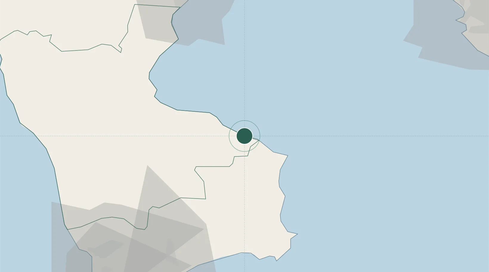
Nearby Logistics Neighbours

Cities
  1. 1Cirò Marina22 km
  2. 2Rossano28 km
  3. 3Rocca di Neto36 km
  4. 4Corigliano Calabro39 km
  5. 5Crotone49 km
Nearest neighbours — logibook spatial index (haversine) over the source coordinates
Ports
  1. 1Ciro Marina21 km
  2. 2Corigliano Calabro41 km
  3. 3Crotone50 km
  4. 4Gallipoli108 km
  5. 5Taranto110 km
Nearest neighbours — logibook spatial index (haversine) over the source coordinates
Trade Zones
  1. 1Calabria Special Economic Zone65 km
  2. 2Basilicata Special Economic Zone165 km
  3. 3Adriatic Special Economic Zone (Foggia-Molise)180 km
  4. 4Puglia (Apulia) Special Economic Zone Area203 km
  5. 5Vlora Technical and Economic Development Area239 km
Nearest neighbours — logibook spatial index (haversine) over the source coordinates
DatabookThe Record of Consolidated Knowledge
Italy beyond logistics?
Browse databook

All Sources

LocationsUN/LOCODE
UN/LOCODE — free
LocationsGeoNames
CC BY 4.0
Portsthe NGA World Port Index
Public domain (US gov)
AirportsOurAirports
Public domain
Trade Zonesthe World Bank SEZ database
CC BY 4.0
Trade ZonesOpen Zone Map
CC BY
← Italy locations