UN/LOCODE hub · Spain
ESTAR
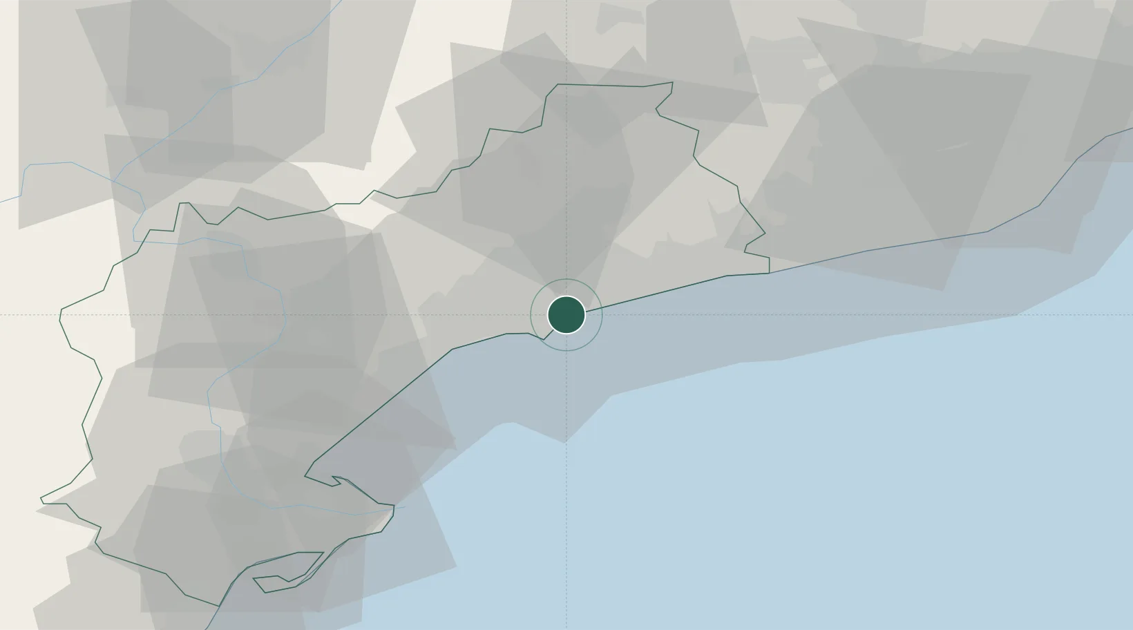
Tarragona
41.1087°, 1.2184°
141,542
Population
4
Transport functions
2
Container terminals
Transport Functions
Port
Rail
Road
Airport
Hub Profile
Place type
Provincial seat
Region
Catalonia
Population
141,542
Time zone
Europe/Madrid
Elevation
60 m
Logistics facilities
6
Container terminals
2
Location
Nearby Logistics Neighbours
Cities
- 1La Canonja3 km
- 2Salou9 km
- 3La Selva del Camp12 km
- 4Castellvell del Camp13 km
- 5Cambrils14 km
Ports
- 1Villanueva Y Geltru45 km
- 2Barcelona84 km
- 3El Grao163 km
- 4San Feliu De Guixols169 km
- 5Burriana173 km
Airports
Trade Zones
- 1Depósito Franco de Tarragona3 km
- 2Zona Franca de Barcelona80 km
- 3Depósito Franco de Zaragoza176 km
- 4ZFU Perpignan225 km
- 5Depósito Franco de Valencia226 km
DatabookThe Record of Consolidated Knowledge
Spain beyond logistics?