UN/LOCODE hub · Spain
ESALC
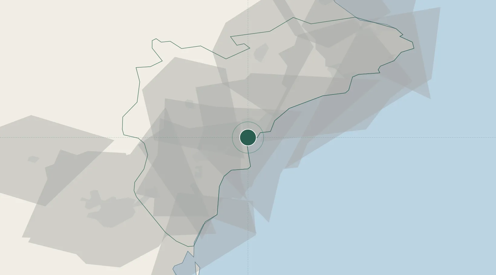
Alicante
38.3381°, -0.5157°
348,901
Population
5
Transport functions
1
Container terminals
Transport Functions
Port
Rail
Road
Airport
Postal
Hub Profile
Place type
Provincial seat
Region
Valencia
Population
348,901
Time zone
Europe/Madrid
Elevation
18 m
Logistics facilities
4
Container terminals
1
Location
Nearby Logistics Neighbours
Cities
- 1Torrellano9 km
- 2San Juan de Alicante10 km
- 3Muchamiel11 km
- 4Montesinos19 km
- 5Santa Agueda30 km
Ports
- 1Torrevieja44 km
- 2Puerto De Gandia80 km
- 3Cartagena93 km
- 4Valencia125 km
- 5Aguilas139 km
Airports
Trade Zones
DatabookThe Record of Consolidated Knowledge
Spain beyond logistics?