Transport Functions
Port
Rail
Road
Hub Profile
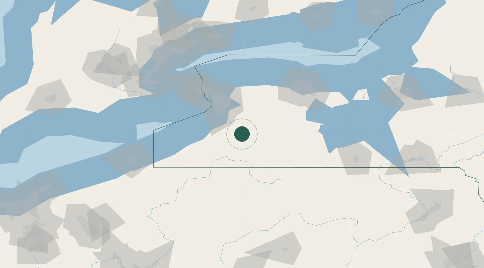
Place type
Populated place
Region
New York
Population
1,058
Time zone
America/New_York
Elevation
434 m
Location
Nearby Logistics Neighbours
Cities
- 1Sardinia6 km
- 2Arcade8 km
- 3Chaffee9 km
- 4East Concord16 km
- 5Cuba35 km
Ports
- 1Buffalo55 km
- 2Tonawanda69 km
- 3Dunkirk70 km
- 4Port Colborne77 km
- 5Welland85 km
Airports
Trade Zones
- 1FTZ No. 023 Buffalo54 km
- 2Niagara Foreign Trade Zone82 km
- 3FTZ No. 289 Ontario County83 km
- 4FTZ No. 141 Monroe County99 km
- 5FTZ No. 034 Niagara County107 km
DatabookThe Record of Consolidated Knowledge
United States beyond logistics?