Transport Functions
Road
Multimodal
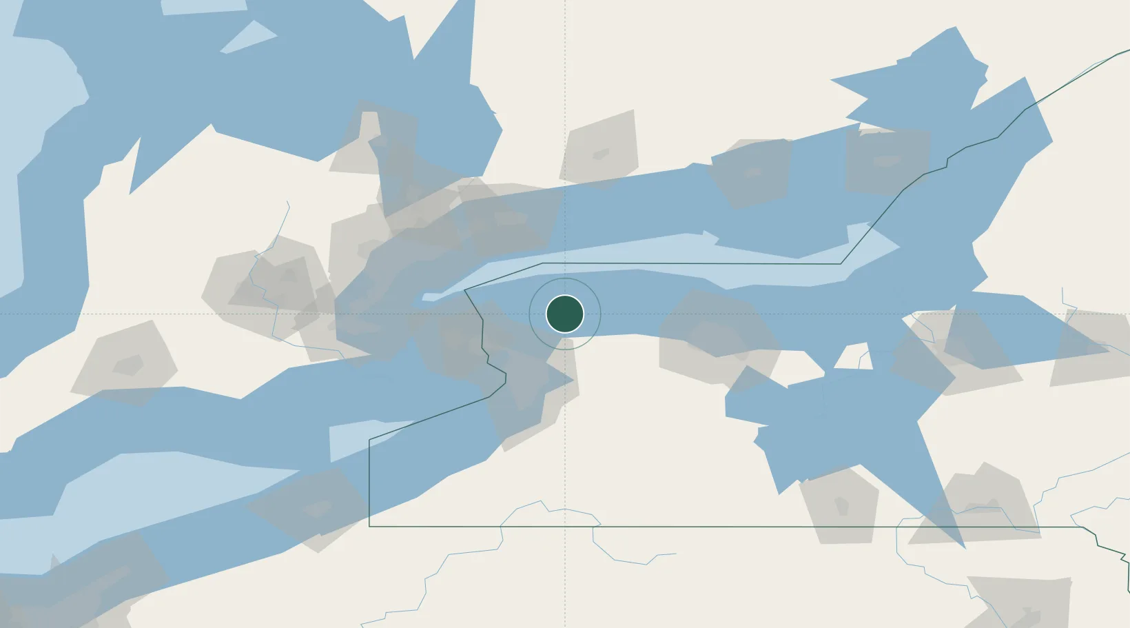
Hub Profile
Place type
Populated place
Region
New York
Population
512
Time zone
America/New_York
Elevation
100 m
Location
Nearby Logistics Neighbours
Ports
- 1Youngstown41 km
- 2Tonawanda42 km
- 3Niagara43 km
- 4Queenston45 km
- 5Port Weller55 km
Airports
Trade Zones
DatabookThe Record of Consolidated Knowledge
United States beyond logistics?