Transport Functions
Port
Rail
Road
Multimodal
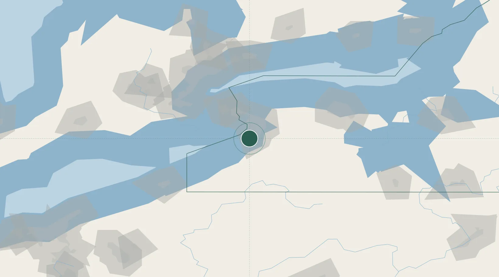
Hub Profile
Place type
Populated place
Region
New York
Time zone
America/New_York
Elevation
183 m
Location
Nearby Logistics Neighbours
Cities
- 1Lake View, Erie6 km
- 2Blasdell7 km
- 3Hamburg8 km
- 4Derby12 km
- 5Buffalo14 km
Ports
- 1Buffalo15 km
- 2Tonawanda32 km
- 3Port Colborne33 km
- 4Welland41 km
- 5Dunkirk47 km
Airports
Trade Zones
- 1FTZ No. 023 Buffalo14 km
- 2Niagara Foreign Trade Zone40 km
- 3FTZ No. 034 Niagara County67 km
- 4FTZ No. 141 Monroe County96 km
- 5FTZ No. 289 Ontario County108 km
DatabookThe Record of Consolidated Knowledge
United States beyond logistics?