Transport Functions
Multimodal
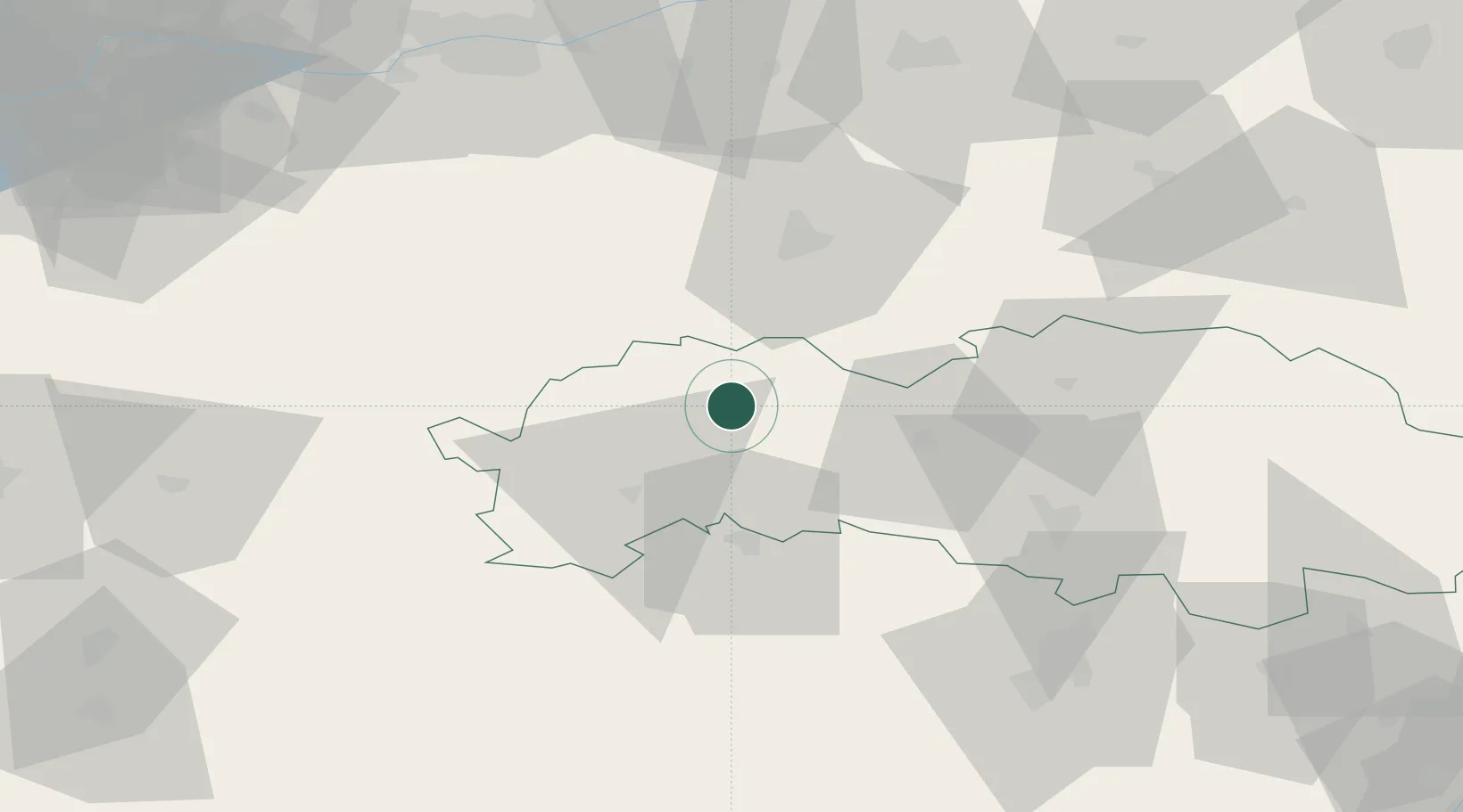
Hub Profile
Place type
Populated place
Region
Prešov Region
Population
3,053
Time zone
Europe/Bratislava
Elevation
567 m
Location
Nearby Logistics Neighbours
Cities
- 1Hniezdne9 km
- 2Spisská Stará Ves19 km
- 3Velká Lomnica19 km
- 4Levoca25 km
- 5Rytro28 km
Ports
- 1Gdansk581 km
- 2Nowy Port589 km
- 3Baltiysk600 km
- 4Gdynia603 km
- 5Kaliningrad606 km
Airports
- 1Poprad-Tatry Airport29 km
- 2Košice International Airport83 km
- 3Kraków John Paul II International Airport107 km
- 4Sliač Airport123 km
- 5Žilina-Dolný Hričov Airport139 km
Trade Zones
DatabookThe Record of Consolidated Knowledge
Slovakia beyond logistics?