Transport Functions
Multimodal
Hub Profile
Place type
Populated place
Region
Košice Region
Time zone
Europe/Bratislava
Elevation
132 m
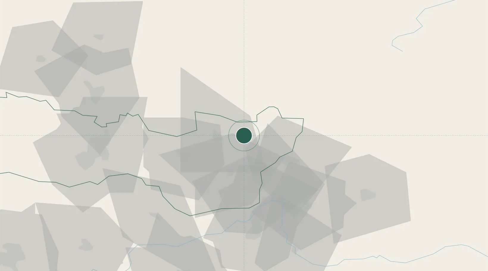
Location
Nearby Logistics Neighbours
Cities
- 1Michalovce10 km
- 2Strázske19 km
- 3Humenné20 km
- 4Snina23 km
- 5Velké Kapusany24 km
Airports
Trade Zones
DatabookThe Record of Consolidated Knowledge
Slovakia beyond logistics?