Transport Functions
Rail
Road
Hub Profile
Place type
Provincial seat
Region
Skåne
Population
6,496
Time zone
Europe/Stockholm
Elevation
13 m
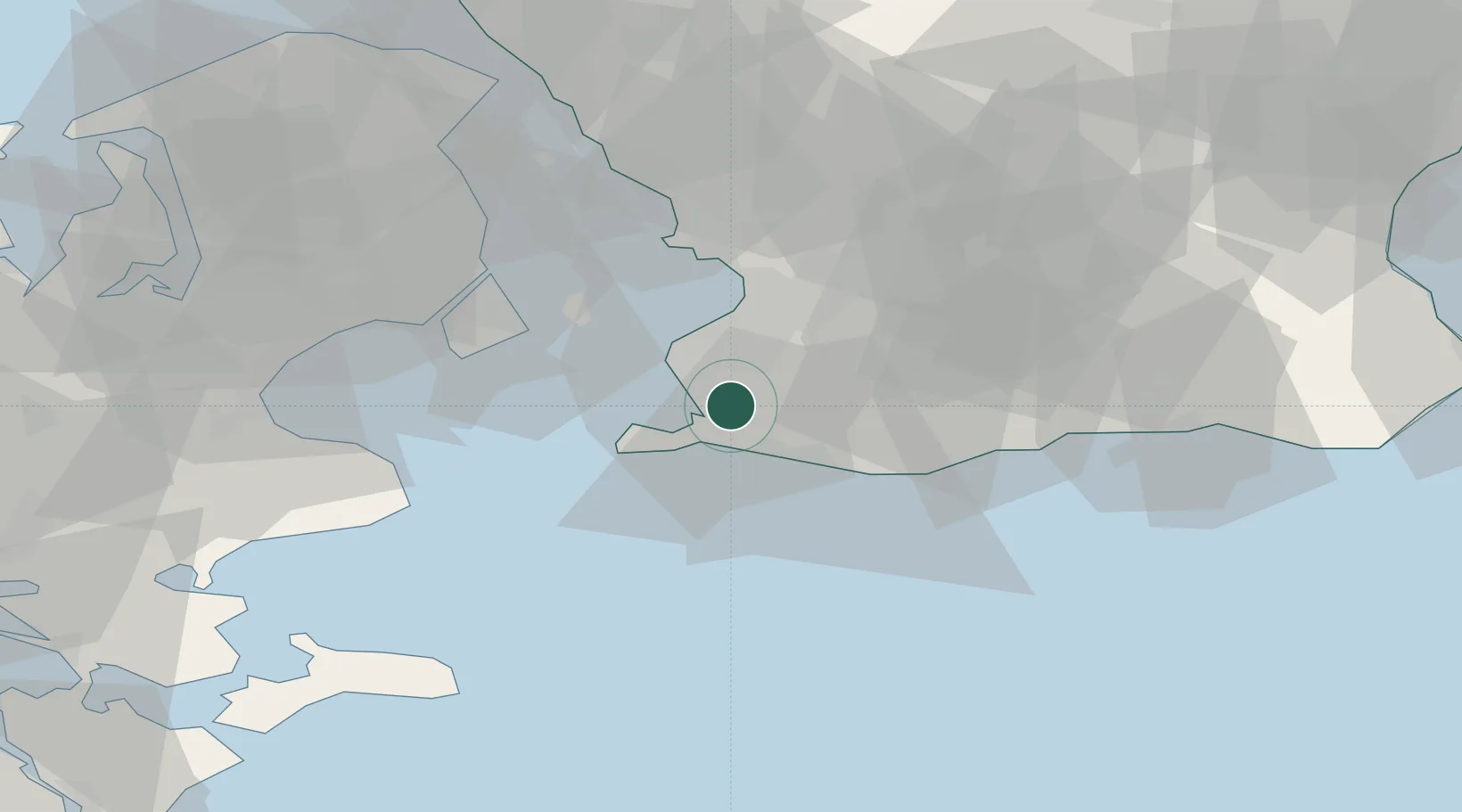
Location
Nearby Logistics Neighbours
Cities
- 1Höllviken8 km
- 2Bunkeflostrand9 km
- 3Klagshamn10 km
- 4Malmö13 km
- 5Skanör13 km
Ports
- 1Trelleborg14 km
- 2Limhamn16 km
- 3Malmo18 km
- 4Kobenhavn37 km
- 5Tuborg40 km
Airports
- 1Malmö Sturup Airport23 km
- 2Copenhagen Kastrup Airport29 km
- 3København Vandflyveplads37 km
- 4Copenhagen Roskilde Airport58 km
- 5Ljungbyhed Airfield69 km
Trade Zones
- 1MTS Malmö Transport and Spedition16 km
- 2Freeport of Copenhagen- Nordhavn39 km
- 3Swinoujscie Duty Free Zone192 km
- 4Freeport of Kiel222 km
- 5Szczecin Duty Free Zone248 km
DatabookThe Record of Consolidated Knowledge
Sweden beyond logistics?