UN/LOCODE hub · Sweden
SESNR

Skanör

55.4167°, 12.8500°
2
Transport functions

Transport Functions

Port
Road
UN/LOCODE

Hub Profile

Place type
Urban district
GeoNames
Region
Skåne
GeoNames
Time zone
Europe/Stockholm
GeoNames
Elevation
3 m
GeoNames

Location

Location of SESNR
Natural Earth 10m (public domain) · Skåne · SESNR · 55.42, 12.85GoogleOSMYandex

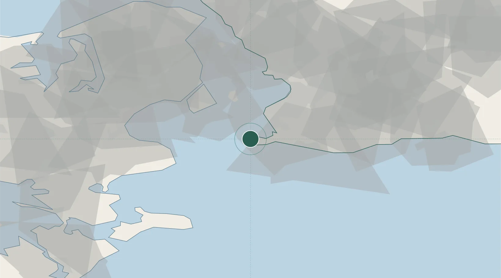
Nearby Logistics Neighbours

Cities
  1. 1Höllviken6 km
  2. 2Vellinge13 km
  3. 3Klagshamn14 km
  4. 4Bunkeflostrand14 km
  5. 5Limhamn20 km
Nearest neighbours — logibook spatial index (haversine) over the source coordinates
Ports
  1. 1Limhamn20 km
  2. 2Trelleborg20 km
  3. 3Malmo25 km
  4. 4Kobenhavn35 km
  5. 5Tuborg37 km
Nearest neighbours — logibook spatial index (haversine) over the source coordinates
Airports
  1. 1Copenhagen Kastrup Airport26 km
  2. 2København Vandflyveplads34 km
  3. 3Malmö Sturup Airport36 km
  4. 4Copenhagen Roskilde Airport49 km
  5. 5Ringsted Airfield66 km
Nearest neighbours — logibook spatial index (haversine) over the source coordinates
Trade Zones
  1. 1MTS Malmö Transport and Spedition26 km
  2. 2Freeport of Copenhagen- Nordhavn37 km
  3. 3Swinoujscie Duty Free Zone192 km
  4. 4Freeport of Kiel209 km
  5. 5Szczecin Duty Free Zone248 km
Nearest neighbours — logibook spatial index (haversine) over the source coordinates
DatabookThe Record of Consolidated Knowledge
Sweden beyond logistics?
Browse databook

All Sources

LocationsUN/LOCODE
UN/LOCODE — free
Portsthe NGA World Port Index
Public domain (US gov)
AirportsOurAirports
Public domain
Trade Zonesthe World Bank SEZ database
CC BY 4.0
Trade ZonesOpen Zone Map
CC BY
← Sweden locations