UN/LOCODE hub · Sweden
SESZI

Höllviken

55.4167°, 12.9500°
1
Transport functions

Transport Functions

Multimodal
UN/LOCODE

Hub Profile

Region
M
GeoNames

Location

Location of SESZI
Natural Earth 10m (public domain) · M · SESZI · 55.42, 12.95GoogleOSMYandex

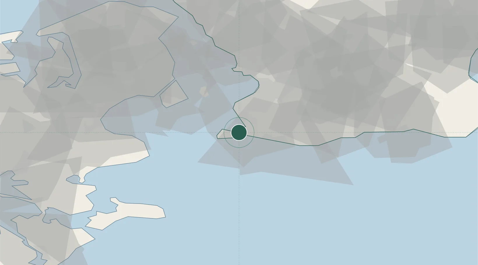
Nearby Logistics Neighbours

Cities
  1. 1Skanör6 km
  2. 2Vellinge8 km
  3. 3Bunkeflostrand13 km
  4. 4Klagshamn13 km
  5. 5Trelleborg15 km
Nearest neighbours — logibook spatial index (haversine) over the source coordinates
Ports
  1. 1Trelleborg14 km
  2. 2Limhamn20 km
  3. 3Malmo23 km
  4. 4Kobenhavn38 km
  5. 5Tuborg41 km
Nearest neighbours — logibook spatial index (haversine) over the source coordinates
Airports
  1. 1Copenhagen Kastrup Airport29 km
  2. 2Malmö Sturup Airport30 km
  3. 3København Vandflyveplads38 km
  4. 4Copenhagen Roskilde Airport55 km
  5. 5Ringsted Airfield72 km
Nearest neighbours — logibook spatial index (haversine) over the source coordinates
Trade Zones
  1. 1MTS Malmö Transport and Spedition23 km
  2. 2Freeport of Copenhagen- Nordhavn40 km
  3. 3Swinoujscie Duty Free Zone189 km
  4. 4Freeport of Kiel215 km
  5. 5Szczecin Duty Free Zone246 km
Nearest neighbours — logibook spatial index (haversine) over the source coordinates
DatabookThe Record of Consolidated Knowledge
Sweden beyond logistics?
Browse databook

All Sources

LocationsUN/LOCODE
UN/LOCODE — free
Portsthe NGA World Port Index
Public domain (US gov)
AirportsOurAirports
Public domain
Trade Zonesthe World Bank SEZ database
CC BY 4.0
Trade ZonesOpen Zone Map
CC BY
← Sweden locations