Transport Functions
Port
Rail
Road
Hub Profile
Place type
Provincial seat
Region
Skåne
Population
32,229
Time zone
Europe/Stockholm
Elevation
7 m
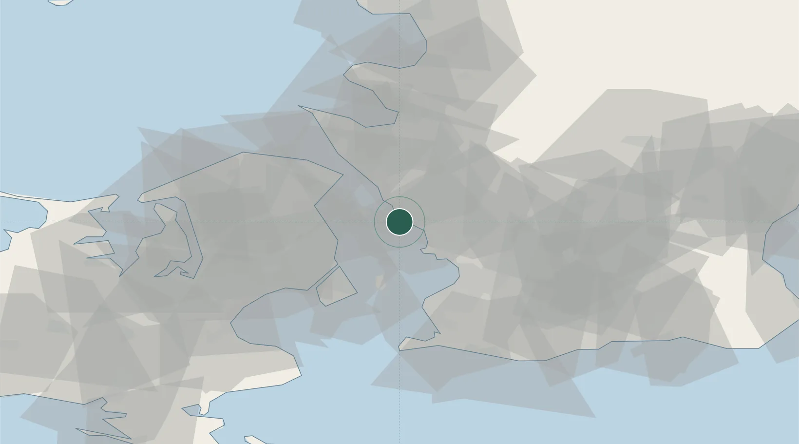
Location
Nearby Logistics Neighbours
Cities
- 1Barsebäckshamn14 km
- 2Löddeköpinge16 km
- 3Svalöv18 km
- 4Skodsborg18 km
- 5Skovshoved18 km
Ports
- 1Helsingborg21 km
- 2Tuborg23 km
- 3Helsingor23 km
- 4Kobenhavn23 km
- 5Malmo29 km
Airports
- 1København Vandflyveplads24 km
- 2Copenhagen Kastrup Airport30 km
- 3Ljungbyhed Airfield34 km
- 4Ängelholm-Helsingborg Airport48 km
- 5Malmö Sturup Airport50 km
Trade Zones
DatabookThe Record of Consolidated Knowledge
Sweden beyond logistics?