Transport Functions
Road
Multimodal
Hub Profile
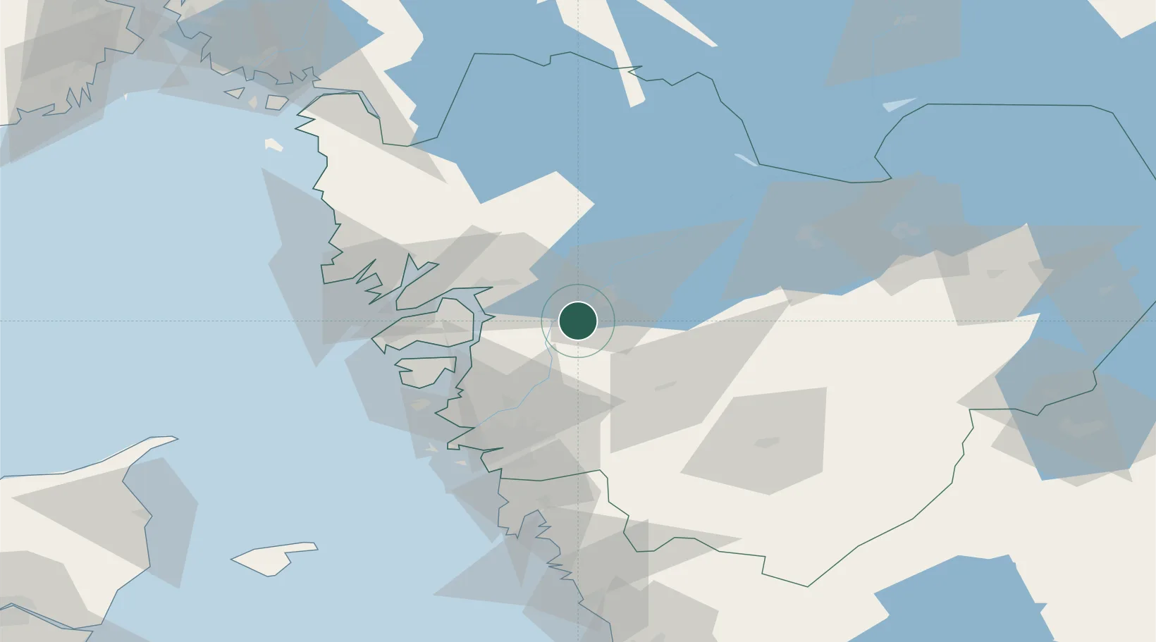
Place type
Populated place
Region
Västra Götaland
Population
2,213
Time zone
Europe/Stockholm
Elevation
55 m
Location
Nearby Logistics Neighbours
Cities
- 1Trollhättan9 km
- 2Lilla Edet9 km
- 3Göta11 km
- 4Lödöse19 km
- 5Vänersborg19 km
Ports
- 1Uddevalla25 km
- 2Stenungsund28 km
- 3Lysekil46 km
- 4Brofjorden50 km
- 5Marstrand51 km
Airports
- 1Trollhättan-Vänersborg Airport15 km
- 2Såtenäs Air Base39 km
- 3Säve Airport52 km
- 4Råda Air Base59 km
- 5Göteborg Landvetter Airport60 km
Trade Zones
DatabookThe Record of Consolidated Knowledge
Sweden beyond logistics?