Transport Functions
Rail
Road
Hub Profile
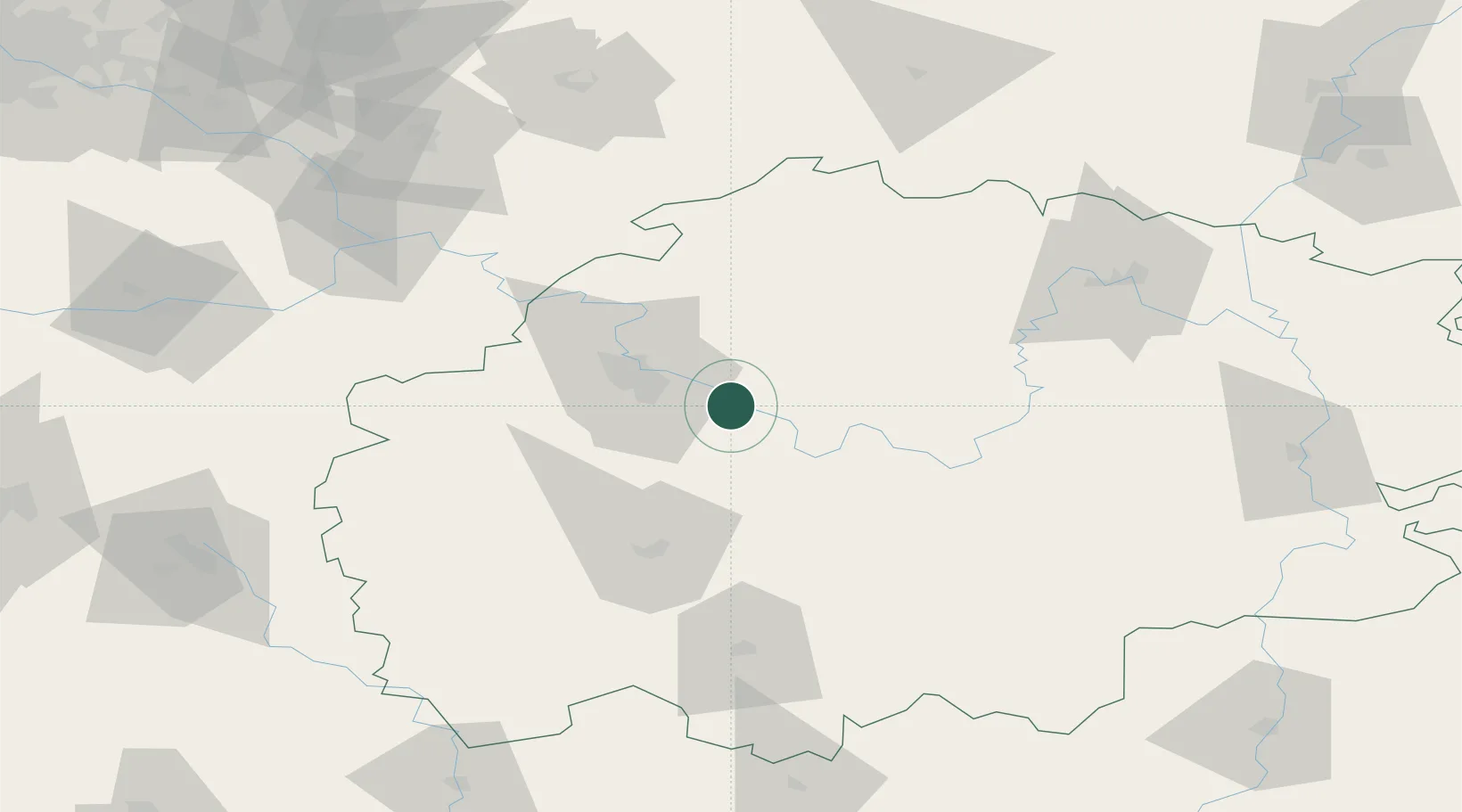
Place type
Populated place
Region
Ryazan Oblast
Time zone
Europe/Moscow
Elevation
112 m
Location
Nearby Logistics Neighbours
Ports
- 1Taganrog817 km
- 2Rostov-Na-Donu818 km
- 3Azov826 km
- 4Mariupol845 km
- 5Yeysk875 km
Airports
- 1Dyagilevo Air Base34 km
- 2Tretyakovo Airport79 km
- 3Zhukovsky International Airport167 km
- 4Michurinsk Air Base179 km
- 5Semyazino Airport180 km
DatabookThe Record of Consolidated Knowledge
Russia beyond logistics?