Transport Functions
Port
Rail
Road
Multimodal
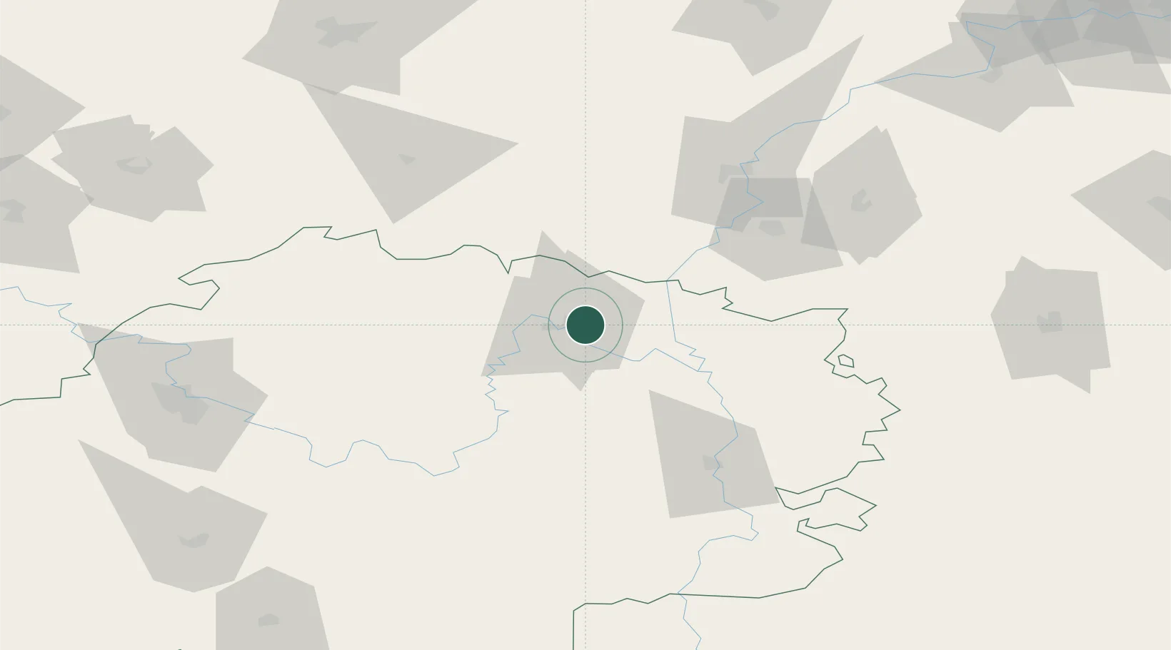
Hub Profile
Place type
Provincial seat
Region
Ryazan Oblast
Population
35,355
Time zone
Europe/Moscow
Elevation
142 m
Location
Nearby Logistics Neighbours
Cities
- 1Vyksa65 km
- 2Murom80 km
- 3Gus Khrustalny88 km
- 4Vyshgorod98 km
- 5Umet124 km
Ports
- 1Rostov-Na-Donu872 km
- 2Taganrog877 km
- 3Azov882 km
- 4Mariupol913 km
- 5Yeysk938 km
Airports
- 1Dyagilevo Air Base122 km
- 2Mius Airport122 km
- 3Semyazino Airport149 km
- 4Tretyakovo Airport152 km
- 5Nizhny Novgorod / Strigino International Airport208 km
DatabookThe Record of Consolidated Knowledge
Russia beyond logistics?