Transport Functions
Port
Hub Profile
Place type
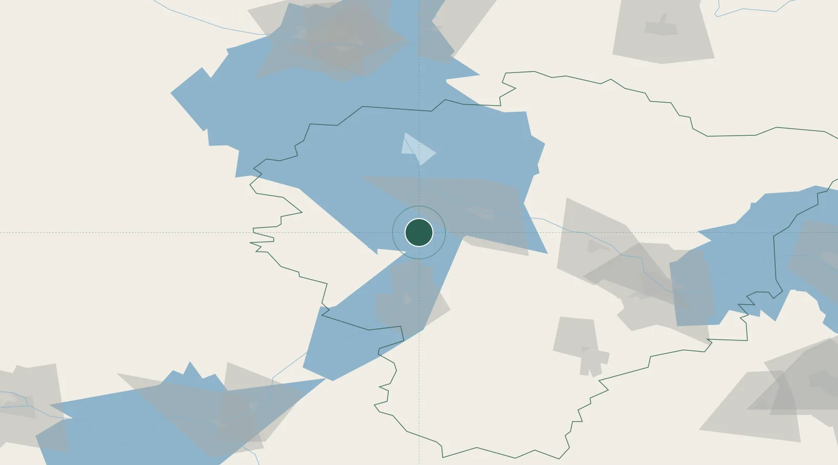
Populated place
Region
Yaroslavl Oblast
Population
3,469
Time zone
Europe/Moscow
Elevation
123 m
Location
Nearby Logistics Neighbours
Cities
- 1Uglich48 km
- 2Kashin82 km
- 3Kalyazin87 km
- 4Gavrilov-Yam113 km
- 5Kimry134 km
Ports
- 1Lomonosov541 km
- 2Kronshtadt543 km
- 3Ust Luga611 km
- 4Primorsk617 km
- 5Vyborg627 km
Airports
- 1Staroselye Airport36 km
- 2Golden Ring Yaroslavl International Airport113 km
- 3Fedotovo Naval Air Base144 km
- 4Cherepovets Airport149 km
- 5Kostroma Sokerkino Airport156 km
DatabookThe Record of Consolidated Knowledge
Russia beyond logistics?