Transport Functions
Port
Hub Profile
Place type
Provincial seat
Region
Tver Oblast
Population
52,070
Time zone
Europe/Moscow
Elevation
115 m
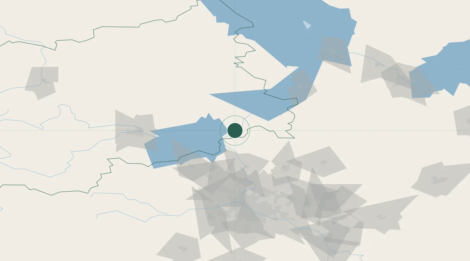
Location
Nearby Logistics Neighbours
Ports
- 1Lomonosov556 km
- 2Kronshtadt560 km
- 3Ust Luga612 km
- 4Sillamae631 km
- 5Primorsk636 km
Airports
- 1Migalovo Air Base98 km
- 2Sheremetyevo International Airport101 km
- 3Chkalovskiy Air Base120 km
- 4Vnukovo International Airport144 km
- 5Kubinka Air Base148 km
DatabookThe Record of Consolidated Knowledge
Russia beyond logistics?