Transport Functions
Rail
Road
Multimodal
Hub Profile
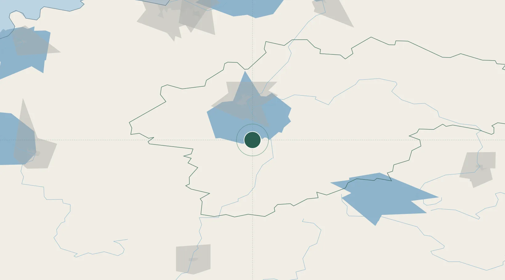
Place type
Provincial seat
Region
Novgorod Oblast
Population
34,303
Time zone
Europe/Moscow
Elevation
16 m
Location
Nearby Logistics Neighbours
Ports
- 1Lomonosov232 km
- 2Kronshtadt238 km
- 3Ust Luga255 km
- 4Sillamae263 km
- 5Primorsk306 km
Airports
- 1Staraya Russa Air Base4 km
- 2Soltsy-2 Air Base63 km
- 3Krechevitsy Air Base70 km
- 4Khotilovo Air Base166 km
- 5Princess Olga Pskov International Airport177 km
Trade Zones
DatabookThe Record of Consolidated Knowledge
Russia beyond logistics?