Transport Functions
Rail
Road
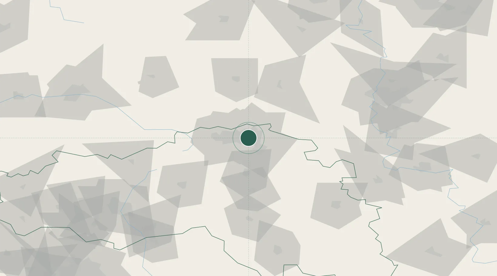
Hub Profile
Place type
Provincial seat
Region
Belgorod Oblast
Population
226,977
Time zone
Europe/Moscow
Elevation
127 m
Location
Nearby Logistics Neighbours
Cities
- 1Shebekino118 km
- 2Kursk124 km
- 3Liski125 km
- 4Ekaterinovka138 km
- 5Yelets154 km
Ports
- 1Taganrog461 km
- 2Mariupol467 km
- 3Rostov-Na-Donu478 km
- 4Azov479 km
- 5Yeysk507 km
Airports
- 1Voronezh Baltimore Air Base98 km
- 2Belgorod International Airport112 km
- 3Voronezh International Airport113 km
- 4Kursk East Airport118 km
- 5Kharkiv International Airport186 km
DatabookThe Record of Consolidated Knowledge
Russia beyond logistics?