Transport Functions
Rail
Road
Hub Profile
Place type
Provincial seat
Region
Lipetsk Oblast
Population
115,688
Time zone
Europe/Moscow
Elevation
121 m
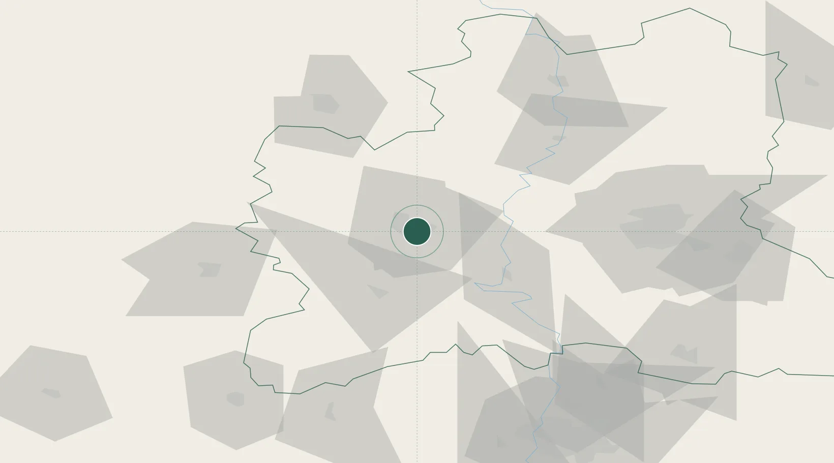
Location
Nearby Logistics Neighbours
Cities
- 1Lebedyan'62 km
- 2Verkhove90 km
- 3Pereslavl-Zalesskiy128 km
- 4Zmiyëvka144 km
- 5Mtsensk151 km
Ports
- 1Taganrog601 km
- 2Rostov-Na-Donu610 km
- 3Azov615 km
- 4Mariupol617 km
- 5Yeysk653 km
Airports
- 1Lipetsk Air Base63 km
- 2Lipetsk Airport70 km
- 3Voronezh International Airport100 km
- 4Voronezh Baltimore Air Base117 km
- 5Michurinsk Air Base129 km
DatabookThe Record of Consolidated Knowledge
Russia beyond logistics?