Transport Functions
Multimodal
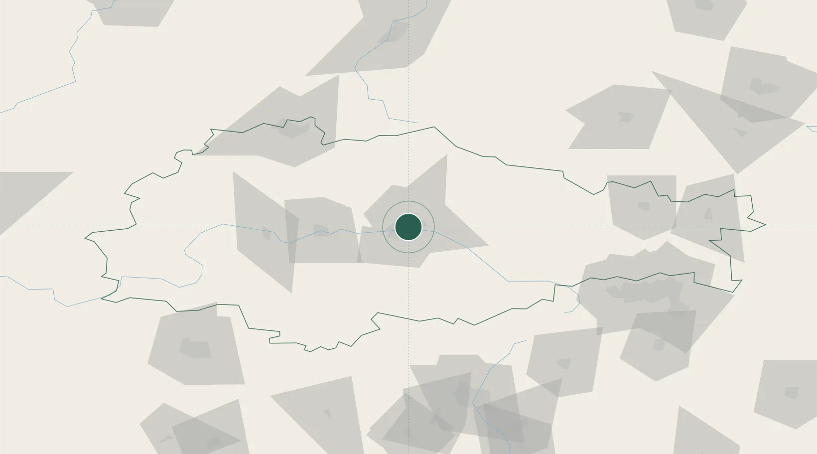
Hub Profile
Place type
Regional capital
Region
Kursk Oblast
Population
448,733
Time zone
Europe/Moscow
Elevation
187 m
Location
Nearby Logistics Neighbours
Cities
- 1Zmiyëvka107 km
- 2Staryy Oskol124 km
- 3Orël137 km
- 4Verkhove142 km
- 5Shebekino155 km
Ports
- 1Mariupol525 km
- 2Taganrog541 km
- 3Berdyansk554 km
- 4Azov565 km
- 5Rostov-Na-Donu567 km
Airports
DatabookThe Record of Consolidated Knowledge
Russia beyond logistics?