Transport Functions
Rail
Road
Airport
Hub Profile
Place type
Regional capital
Region
Perm Krai
Population
982,419
Time zone
Asia/Yekaterinburg
Elevation
149 m
Logistics facilities
1
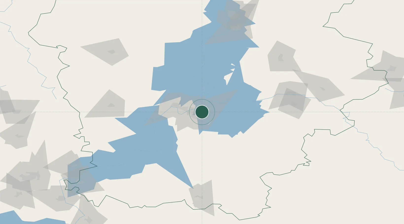
Location
Nearby Logistics Neighbours
Cities
- 1Berezniki161 km
- 2Chaykovskiy182 km
- 3Solikamsk186 km
- 4Glazov211 km
- 5Nizhniy Tagil224 km
Ports
- 1Mezen1073 km
- 2Arkhangels'k1106 km
- 3Severodvinsk1139 km
- 4Ostrovnoy Gremikha1392 km
- 5Rostov-Na-Donu1632 km
Airports
- 1Perm International Airport14 km
- 2Izhevsk Airport209 km
- 3Koltsovo Airport308 km
- 4Uktus Airport309 km
- 5Begishevo Airport368 km
DatabookThe Record of Consolidated Knowledge
Russia beyond logistics?