Transport Functions
Road
Multimodal
Hub Profile
Place type
Provincial seat
Region
Kurgan Oblast
Population
8,712
Time zone
Asia/Yekaterinburg
Elevation
151 m
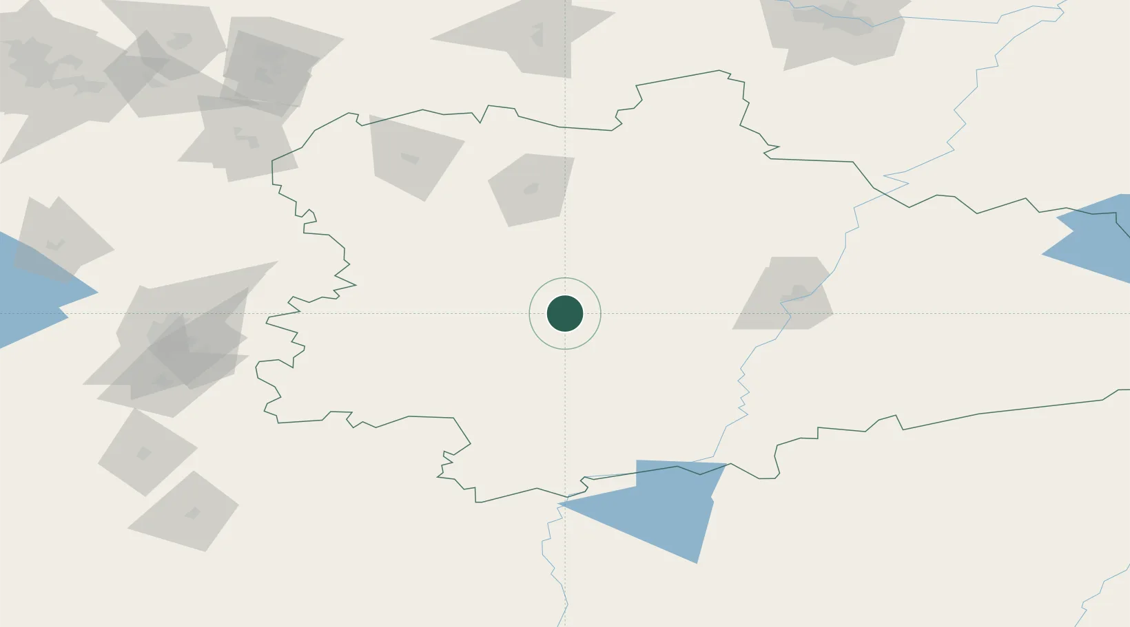
Location
Nearby Logistics Neighbours
Cities
- 1Shumikha40 km
- 2Kurgan91 km
- 3Chelyabinsk161 km
- 4Kamensk-Ural'skiy171 km
- 5Tyumen225 km
Ports
- 1Mezen1574 km
- 2Arkhangels'k1639 km
- 3Severodvinsk1673 km
- 4Igarka1790 km
- 5Ostrovnoy Gremikha1886 km
Airports
- 1Kurgan Airport98 km
- 2Kurchatov Chelyabinsk International Airport151 km
- 3Kamensk-Uralskiy Air Base170 km
- 4Uprun Air Base194 km
- 5Roshchino International Airport224 km
DatabookThe Record of Consolidated Knowledge
Russia beyond logistics?