UN/LOCODE hub · Russia
RUELG

Elektrogorsk

55.8833°, 38.7833°
20,724
Population
2
Transport functions

Transport Functions

Rail
Road
UN/LOCODE

Hub Profile

Place type
Populated place
GeoNames
Region
Moscow Oblast
GeoNames
Population
20,724
GeoNames
Time zone
Europe/Moscow
GeoNames
Elevation
136 m
GeoNames

Location

Location of RUELG
Natural Earth 10m (public domain) · Moscow Oblast · RUELG · 55.88, 38.78GoogleOSMYandex

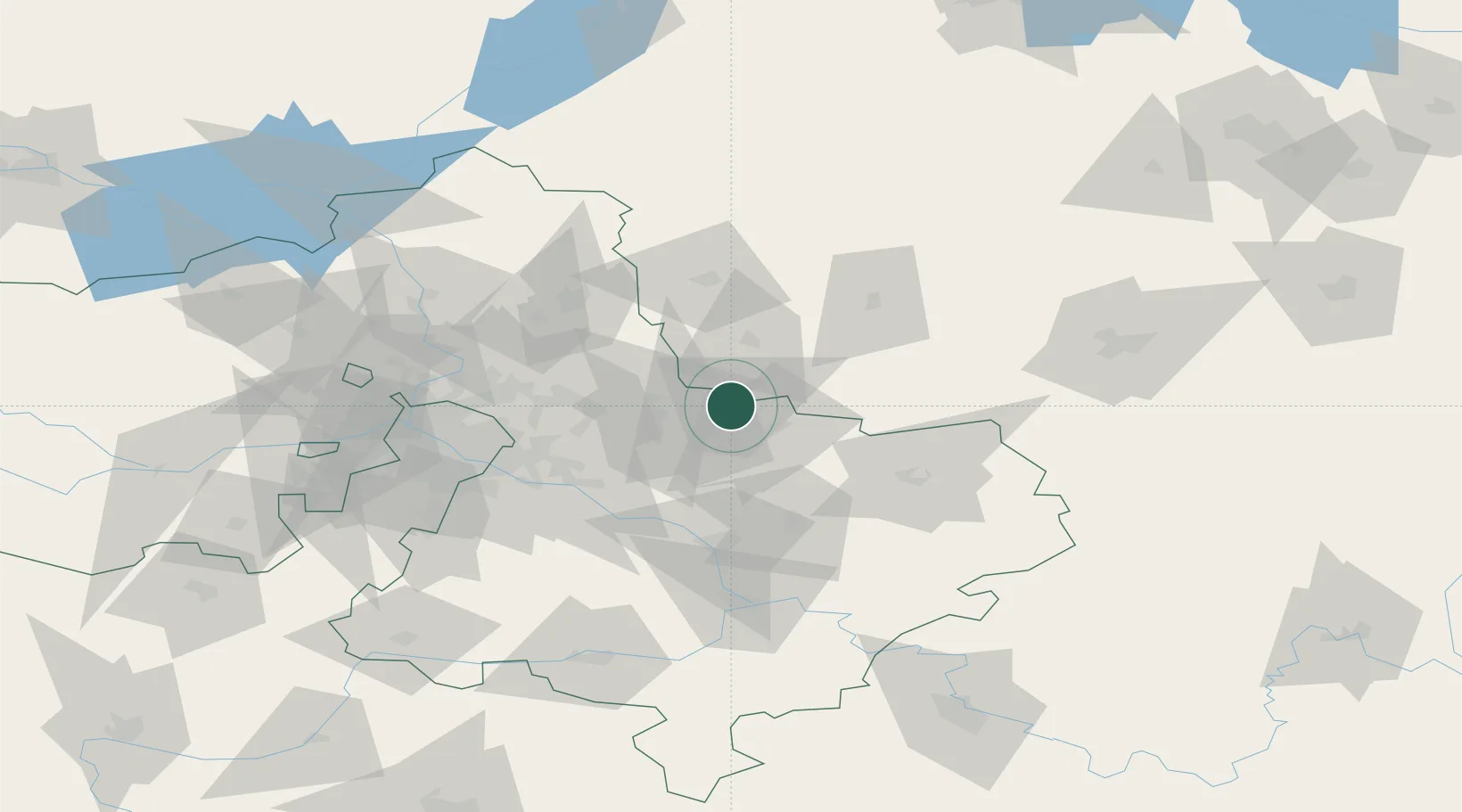
Nearby Logistics Neighbours

Cities
  1. 1Orekhovo-Zuevo14 km
  2. 2Pavlovskiy Posad14 km
  3. 3Balobanovo35 km
  4. 4Fryazino47 km
  5. 5Balashikha53 km
Nearest neighbours — logibook spatial index (haversine) over the source coordinates
Ports
  1. 1Lomonosov695 km
  2. 2Kronshtadt699 km
  3. 3Ust Luga748 km
  4. 4Primorsk776 km
  5. 5Vyborg794 km
Nearest neighbours — logibook spatial index (haversine) over the source coordinates
Airports
  1. 1Chkalovskiy Air Base45 km
  2. 2Zhukovsky International Airport54 km
  3. 3Myachkovo Airfield62 km
  4. 4Domodedovo International Airport76 km
  5. 5Sheremetyevo International Airport86 km
Nearest neighbours — logibook spatial index (haversine) over the source coordinates
DatabookThe Record of Consolidated Knowledge
Russia beyond logistics?
Browse databook

All Sources

LocationsUN/LOCODE
UN/LOCODE — free
LocationsGeoNames
CC BY 4.0
Portsthe NGA World Port Index
Public domain (US gov)
AirportsOurAirports
Public domain
Trade Zonesthe World Bank SEZ database
CC BY 4.0
Trade ZonesOpen Zone Map
CC BY
← Russia locations