Transport Functions
Rail
Road
Hub Profile
Region
IVA
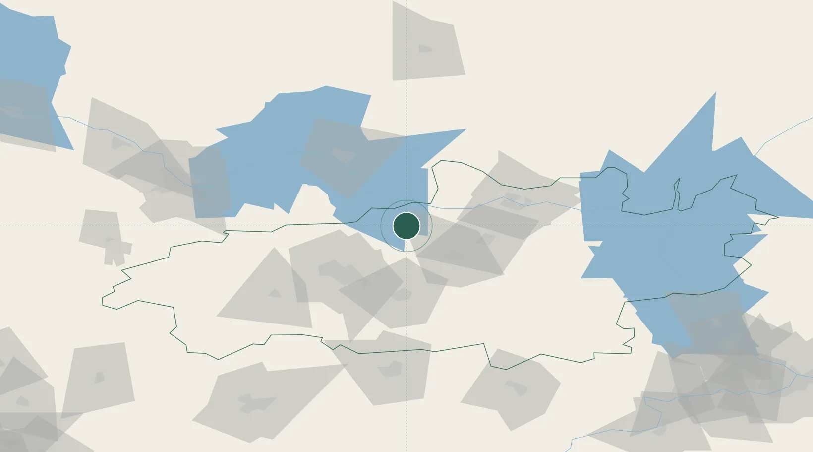
Location
Nearby Logistics Neighbours
Cities
- 1Privolzhsk9 km
- 2Furmanov20 km
- 3Gorkino23 km
- 4Vichuga34 km
- 5Ivanovo41 km
Ports
- 1Arkhangels'k803 km
- 2Severodvinsk812 km
- 3Mezen958 km
- 4Rostov-Na-Donu1134 km
- 5Taganrog1137 km
Airports
DatabookThe Record of Consolidated Knowledge
Russia beyond logistics?