Transport Functions
Rail
Road
Hub Profile
Place type
Populated place
Region
Ivanovo Oblast
Time zone
Europe/Moscow
Elevation
116 m
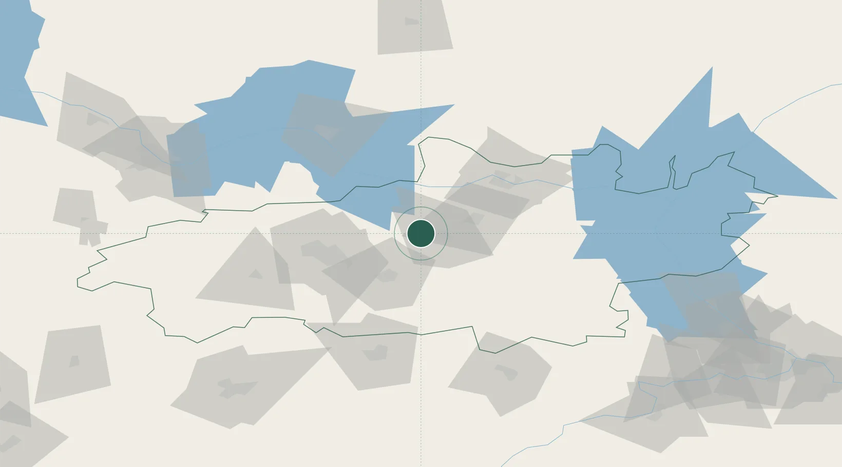
Location
Nearby Logistics Neighbours
Cities
- 1Vichuga21 km
- 2Khropunovo23 km
- 3Privolzhsk32 km
- 4Furmanov32 km
- 5Ivanovo38 km
Ports
- 1Arkhangels'k824 km
- 2Severodvinsk833 km
- 3Mezen977 km
- 4Rostov-Na-Donu1115 km
- 5Taganrog1119 km
Airports
DatabookThe Record of Consolidated Knowledge
Russia beyond logistics?