Transport Functions
Rail
Road
Hub Profile
Place type
Provincial seat
Region
Sverdlovsk Oblast
Population
41,647
Time zone
Asia/Yekaterinburg
Elevation
69 m
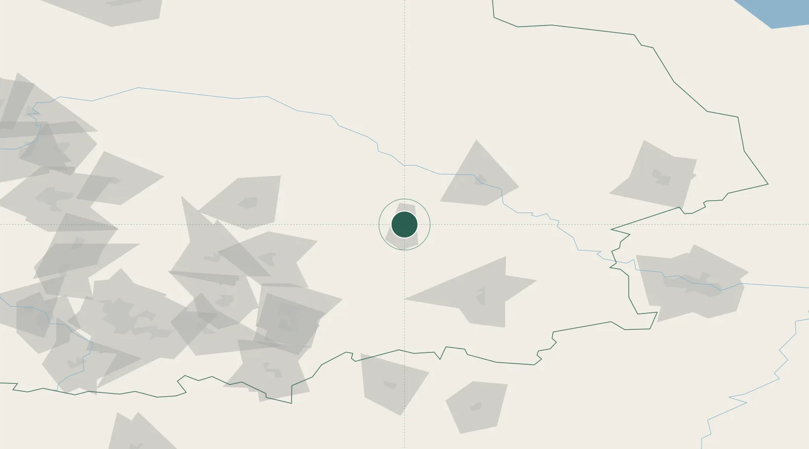
Location
Nearby Logistics Neighbours
Cities
- 1Asbest121 km
- 2Verkhnyaya Salda153 km
- 3Kamensk-Ural'skiy156 km
- 4Tyumen158 km
- 5Ekaterinburg (Yekaterinburg)171 km
Ports
- 1Mezen1335 km
- 2Arkhangels'k1418 km
- 3Severodvinsk1453 km
- 4Igarka1605 km
- 5Ostrovnoy Gremikha1640 km
Airports
- 1Roshchino International Airport147 km
- 2Kamensk-Uralskiy Air Base153 km
- 3Koltsovo Airport171 km
- 4Uktus Airport175 km
- 5Lugovoy Airport278 km
DatabookThe Record of Consolidated Knowledge
Russia beyond logistics?