Transport Functions
Rail
Road
Hub Profile
Place type
Provincial seat
Region
Sverdlovsk Oblast
Population
74,583
Time zone
Asia/Yekaterinburg
Elevation
230 m
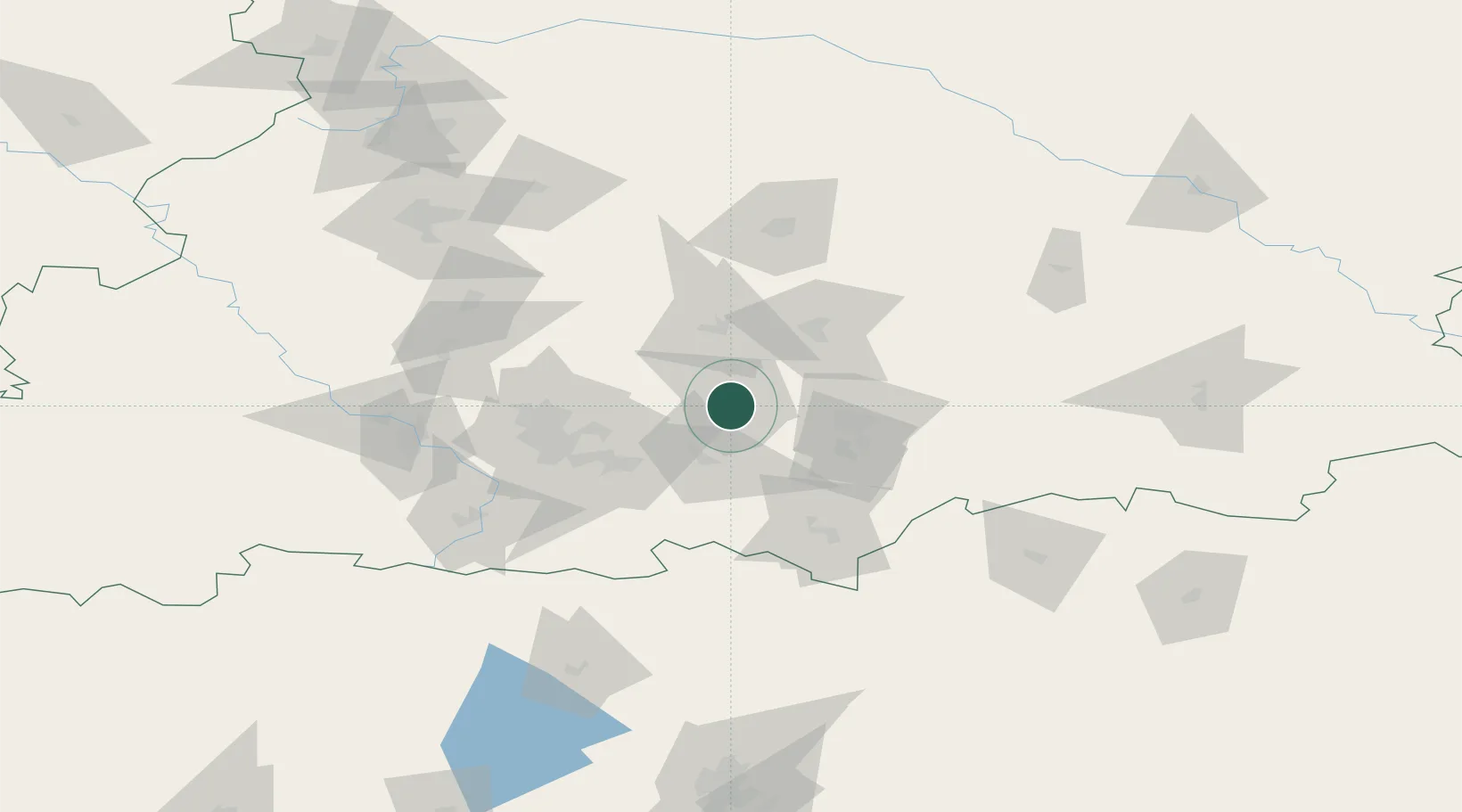
Location
Nearby Logistics Neighbours
Cities
- 1Ekaterinburg (Yekaterinburg)54 km
- 2Kamensk-Ural'skiy73 km
- 3Irbit121 km
- 4Verkhnyaya Salda127 km
- 5Nizhniy Tagil134 km
Ports
- 1Mezen1335 km
- 2Arkhangels'k1400 km
- 3Severodvinsk1435 km
- 4Ostrovnoy Gremikha1647 km
- 5Rostov-Na-Donu1833 km
Airports
- 1Koltsovo Airport51 km
- 2Uktus Airport54 km
- 3Kamensk-Uralskiy Air Base72 km
- 4Kurchatov Chelyabinsk International Airport191 km
- 5Roshchino International Airport234 km
DatabookThe Record of Consolidated Knowledge
Russia beyond logistics?