Transport Functions
Port
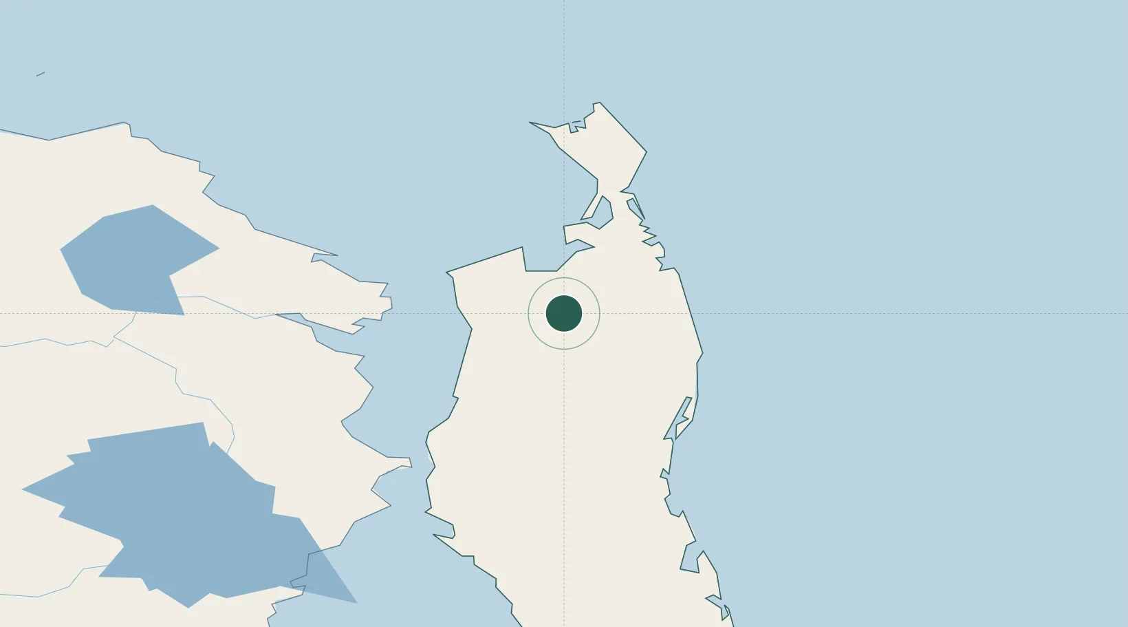
Hub Profile
Place type
Populated place
Region
Świętokrzyskie
Population
658
Time zone
Europe/Warsaw
Elevation
224 m
Location
Nearby Logistics Neighbours
Cities
- 1Okha, Sakhalin60 km
- 2Nogliki150 km
- 3Dobroviz227 km
- 4Aleksandrovsk-Sakhalinskiy248 km
- 5Chamgu254 km
Ports
- 1Moskal Vo52 km
- 2Okha59 km
- 3Nikolayevsk Na Amur118 km
- 4Lazarev120 km
- 5De Kastri218 km
Airports
- 1Nikolayevsk-na-Amure Airport124 km
- 2Nogliki Airport154 km
- 3Bogorodskoye Airport160 km
- 4Shakhtyorsk Airport438 km
- 5Kamenny Ruchey Naval Air Base461 km
DatabookThe Record of Consolidated Knowledge
Poland beyond logistics?