Transport Functions
Port
Rail
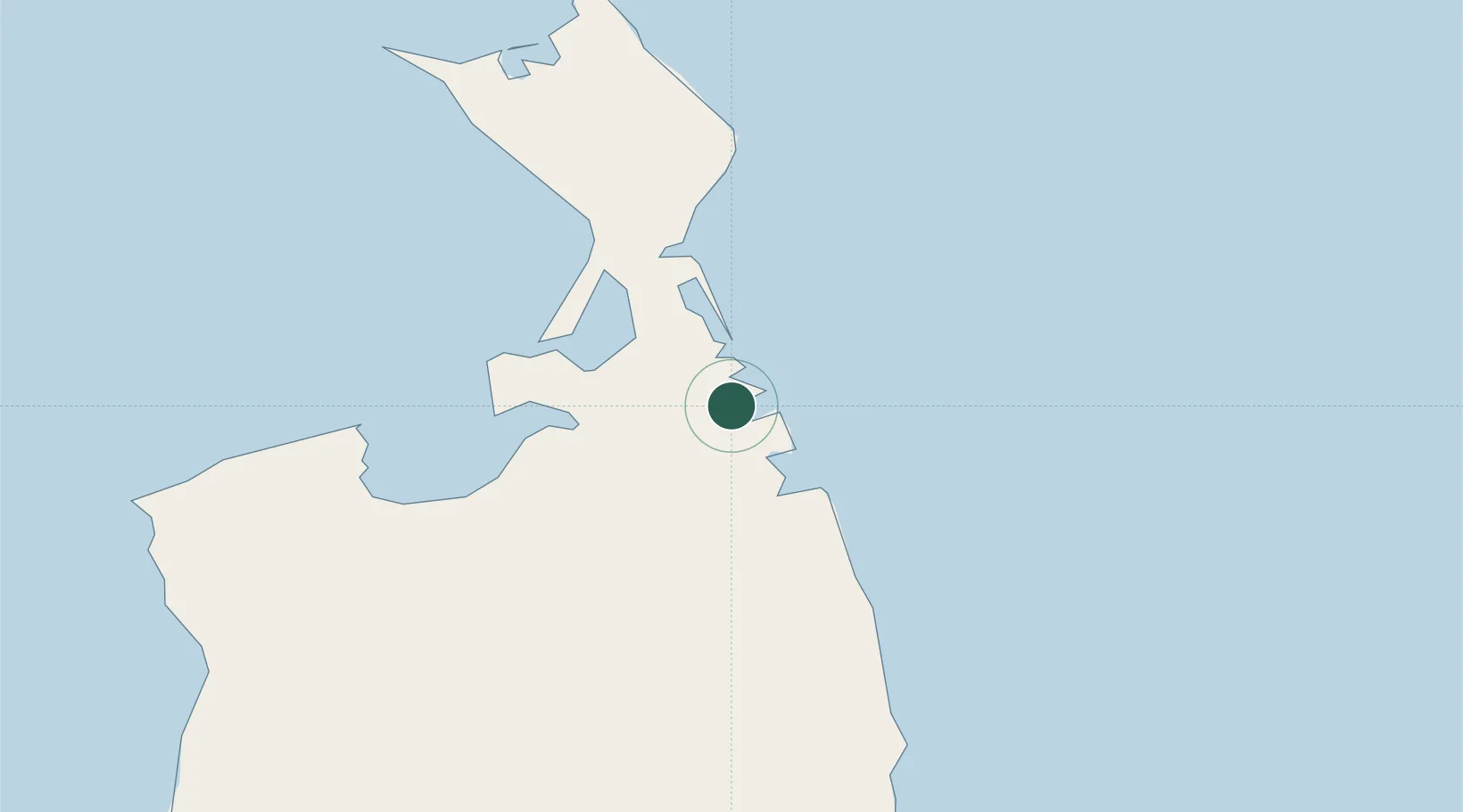
Location
Nearby Logistics Neighbours
Cities
- 1Widuchowa60 km
- 2Nogliki195 km
- 3Dobroviz286 km
- 4Chamgu296 km
- 5Aleksandrovsk-Sakhalinskiy302 km
Ports
- 1Moskal Vo33 km
- 2Nikolayevsk Na Amur158 km
- 3Lazarev180 km
- 4De Kastri278 km
- 5Aleksandrovsk -Sakhalinskiy302 km
Airports
- 1Nikolayevsk-na-Amure Airport163 km
- 2Nogliki Airport199 km
- 3Bogorodskoye Airport216 km
- 4Shakhtyorsk Airport491 km
- 5Kamenny Ruchey Naval Air Base519 km
Trade Zones
DatabookThe Record of Consolidated Knowledge
Russia beyond logistics?