Transport Functions
Port
Road
Hub Profile
Place type
Provincial seat
Region
Yaroslavl Oblast
Population
6,057
Time zone
Europe/Moscow
Elevation
105 m
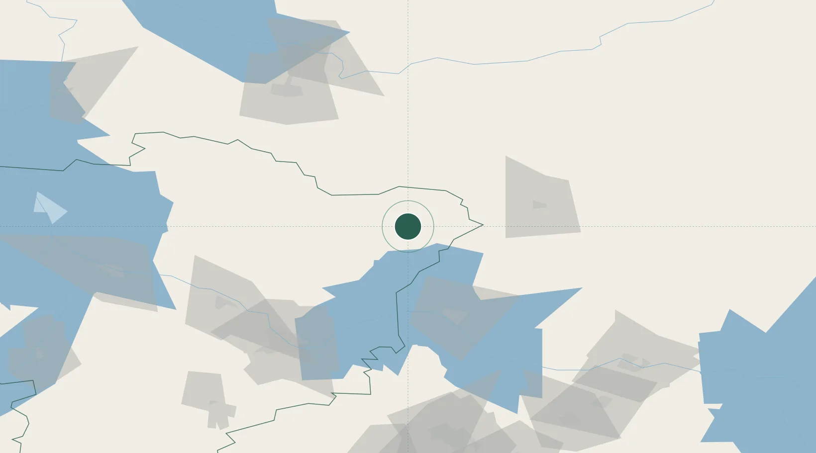
Location
Nearby Logistics Neighbours
Cities
- 1Privolzhsk115 km
- 2Khropunovo123 km
- 3Furmanov125 km
- 4Gavrilov-Yam127 km
- 5Volga141 km
Ports
- 1Lomonosov646 km
- 2Kronshtadt646 km
- 3Arkhangels'k687 km
- 4Severodvinsk694 km
- 5Primorsk718 km
Airports
- 1Kostroma Sokerkino Airport65 km
- 2Golden Ring Yaroslavl International Airport93 km
- 3Staroselye Airport106 km
- 4Vologda Airport112 km
- 5Fedotovo Naval Air Base130 km
DatabookThe Record of Consolidated Knowledge
Russia beyond logistics?