Transport Functions
Rail
Road
Multimodal
Postal
Hub Profile
Place type
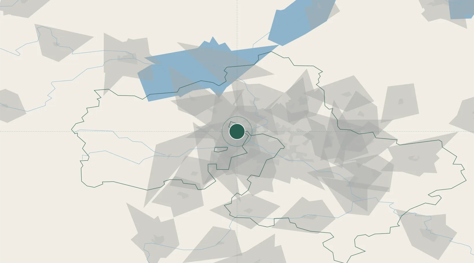
Populated place
Region
Moscow
Population
215,727
Time zone
Europe/Moscow
Elevation
220 m
Location
Nearby Logistics Neighbours
Cities
- 1Skhodnya2 km
- 2Krasnogorsk13 km
- 3Lobnya14 km
- 4Istra26 km
- 5Korolëv (ex Kaliningrad), Moskovskaya33 km
Ports
- 1Lomonosov626 km
- 2Kronshtadt631 km
- 3Ust Luga673 km
- 4Primorsk707 km
- 5Gavan Vysotsk728 km
Airports
DatabookThe Record of Consolidated Knowledge
Russia beyond logistics?