Transport Functions
Port
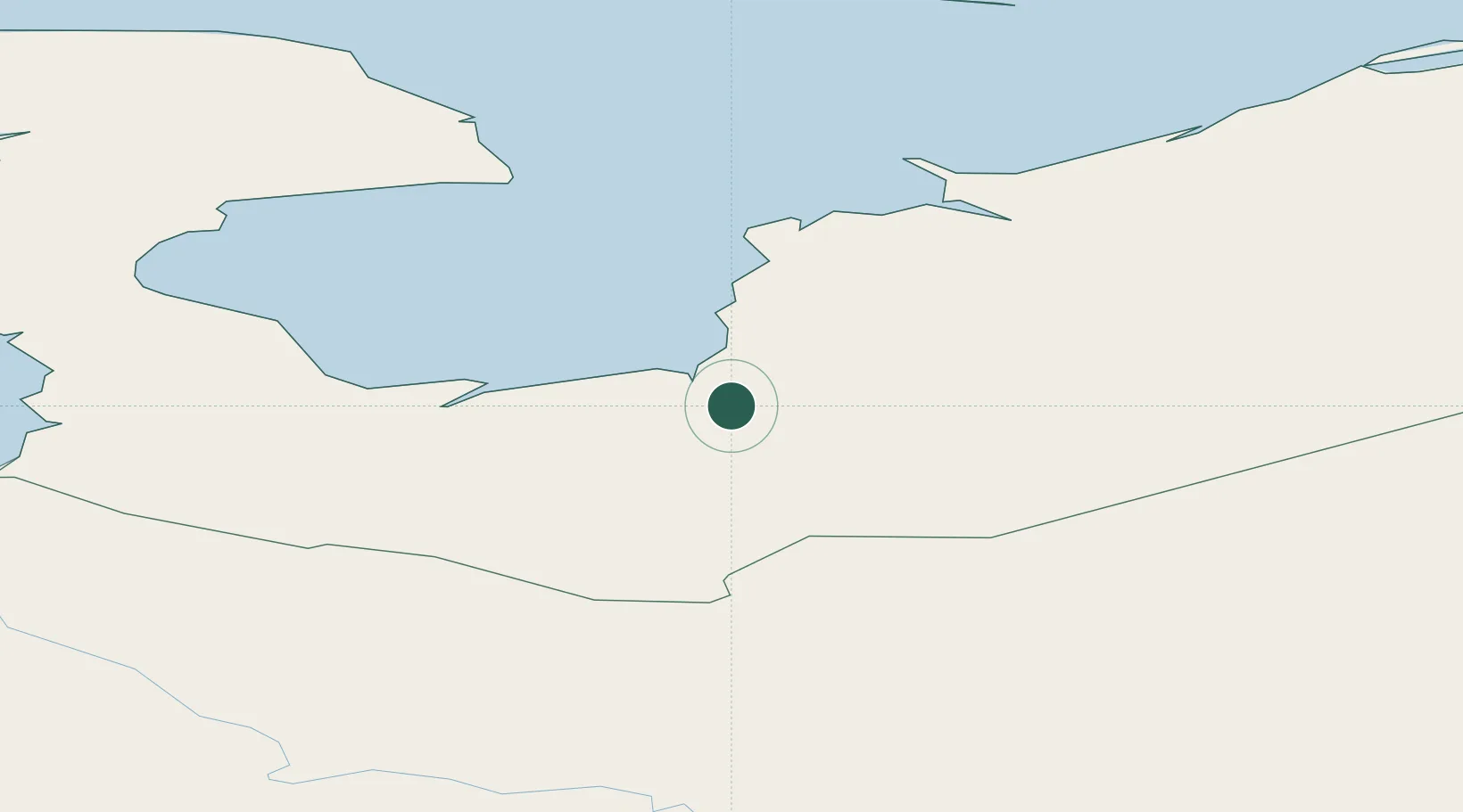
Hub Profile
Place type
Populated place
Region
Nenets
Time zone
Europe/Moscow
Elevation
10 m
Location
Nearby Logistics Neighbours
Cities
- 1Indiga114 km
- 2Kolguyev Island266 km
- 3Ekonomiya398 km
- 4Novodvinsk411 km
- 5Sosnogorsk452 km
Ports
- 1Mezen190 km
- 2Ostrovnoy Gremikha381 km
- 3Arkhangels'k414 km
- 4Severodvinsk438 km
- 5Murmansk663 km
Airports
- 1Leshukonskoye Airport226 km
- 2Ust-Tsylma Airport247 km
- 3Naryan Mar Airport251 km
- 4Izhma Airport340 km
- 5Talagi Airport401 km
DatabookThe Record of Consolidated Knowledge
Russia beyond logistics?