Transport Functions
Road
Multimodal
Hub Profile
Place type
Populated place
Region
Karelia
Time zone
Europe/Moscow
Elevation
34 m
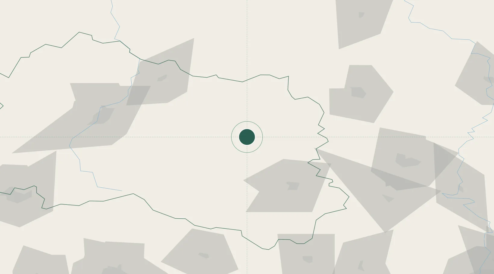
Location
Nearby Logistics Neighbours
Ports
- 1Taganrog636 km
- 2Mariupol638 km
- 3Rostov-Na-Donu653 km
- 4Azov655 km
- 5Berdyansk675 km
Airports
- 1Kursk East Airport135 km
- 2Lipetsk Air Base150 km
- 3Lipetsk Airport156 km
- 4Voronezh International Airport176 km
- 5Voronezh Baltimore Air Base186 km
DatabookThe Record of Consolidated Knowledge
Russia beyond logistics?