Transport Functions
Port
Rail
Road
Hub Profile
Place type
Provincial seat
Region
Nizhny Novgorod Oblast
Population
61,664
Time zone
Europe/Moscow
Elevation
113 m
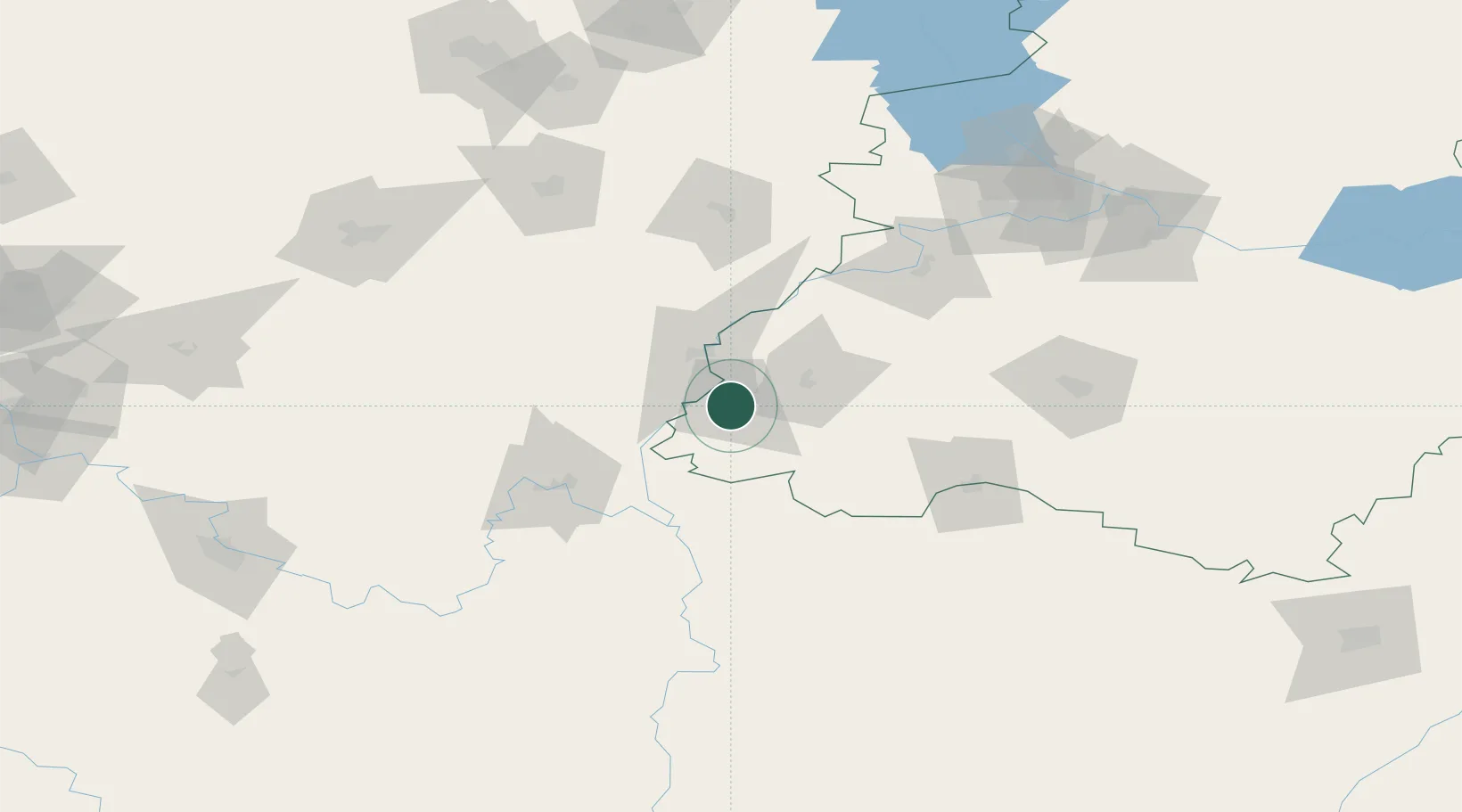
Location
Nearby Logistics Neighbours
Cities
- 1Murom27 km
- 2Kasimov65 km
- 3Pavlovo91 km
- 4Gus Khrustalny101 km
- 5Kameshkovo136 km
Ports
- 1Rostov-Na-Donu922 km
- 2Taganrog930 km
- 3Azov933 km
- 4Mariupol970 km
- 5Yeysk992 km
Airports
- 1Mius Airport83 km
- 2Nizhny Novgorod / Strigino International Airport143 km
- 3Semyazino Airport147 km
- 4Sormovo Airfield151 km
- 5Ivanovo South Airport196 km
DatabookThe Record of Consolidated Knowledge
Russia beyond logistics?