Transport Functions
Rail
Road
Hub Profile
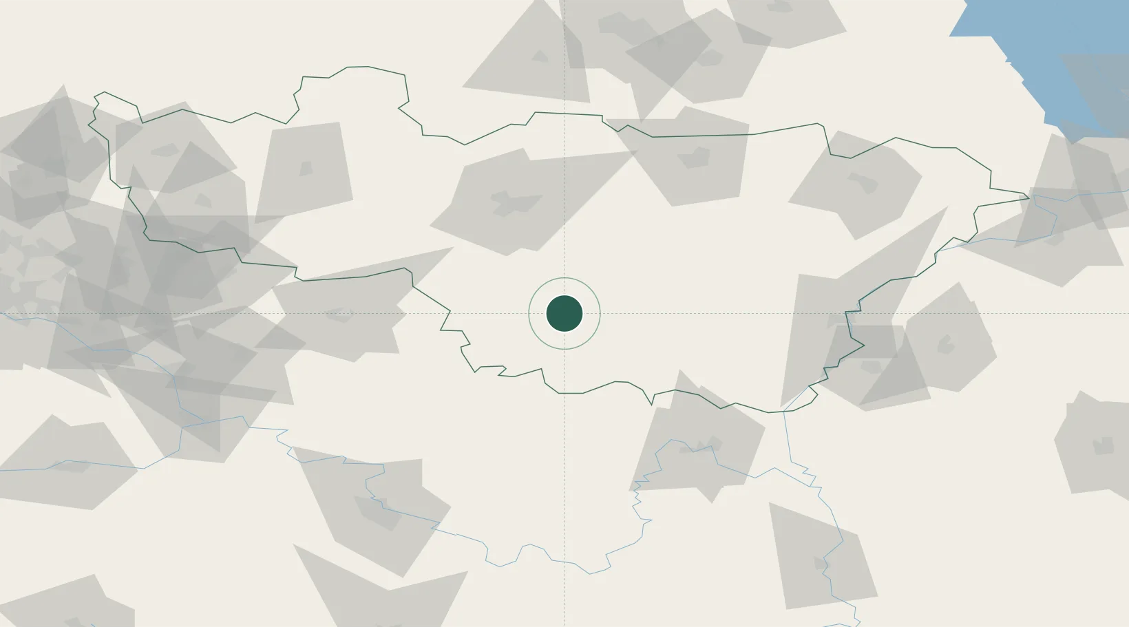
Region
VLA
Location
Nearby Logistics Neighbours
Cities
- 1Vladimir, Vladimirskaya61 km
- 2Shatura70 km
- 3Kameshkovo86 km
- 4Murom87 km
- 5Kasimov88 km
Ports
- 1Rostov-Na-Donu940 km
- 2Taganrog941 km
- 3Azov949 km
- 4Mariupol971 km
- 5Arkhangels'k993 km
Airports
- 1Semyazino Airport62 km
- 2Dyagilevo Air Base127 km
- 3Tretyakovo Airport129 km
- 4Ivanovo South Airport150 km
- 5Zhukovsky International Airport157 km
DatabookThe Record of Consolidated Knowledge
Russia beyond logistics?