Small airport · Russia

Utrenniy AirportRU-0717

71.0114°, 74.2598°
207 ft
Elevation

Runway & Layout

Utrenniy Airport runway & taxiway layout
Runway & taxiway layout — OpenStreetMap (ODbL) / OurAirports

Airport Specifications

Airport class
Small airport
OurAirports
Scheduled service
Yes
OurAirports
Served city
Arctic LNG 2 project - Utrenneye gas field
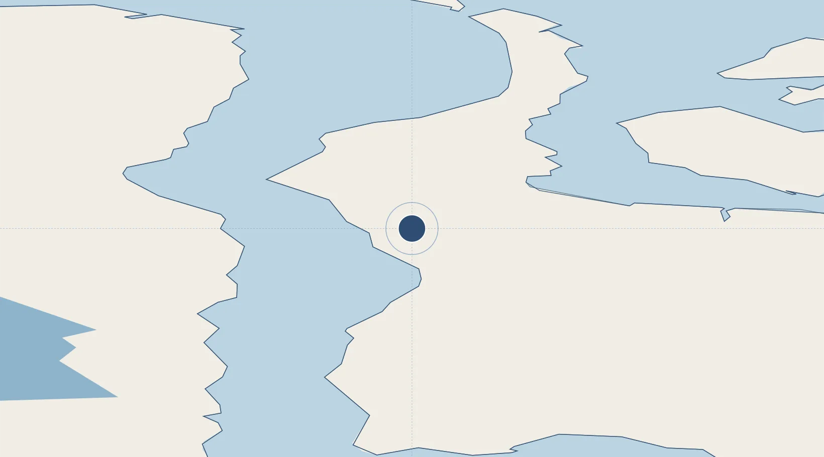
OurAirports

Location

Location of RU-0717
Natural Earth 10m (public domain) · Yamal-Nenets · RU-0717 · 71.01, 74.26GoogleOSMYandex

Nearby Logistics Neighbours

Airports
  1. 1Sabetta International Airport83 km
  2. 2Bovanenkovo Airport231 km
  3. 3Yamburg Airport338 km
  4. 4Dikson Airport347 km
  5. 5Vorkuta Sovetskiy Air Base555 km
Nearest neighbours — logibook spatial index (haversine) over the source coordinates
Cities
  1. 1Sabetta83 km
  2. 2Kharasavey271 km
  3. 3Yamburg323 km
  4. 4Dikson348 km
  5. 5Tazovskiy432 km
Nearest neighbours — logibook spatial index (haversine) over the source coordinates
Ports
  1. 1Port Dikson349 km
  2. 2Dudinka482 km
  3. 3Igarka624 km
  4. 4Mezen1339 km
  5. 5Ostrovnoy Gremikha1369 km
Nearest neighbours — logibook spatial index (haversine) over the source coordinates
Trade Zones
  1. 1Titanium Valley Special Economic Zone - Industrial1595 km
  2. 2Tomsk Technology Innovative Special Economic Zone1695 km
  3. 3Qyzyljar Special Economic Zone1812 km
  4. 4Alabuga Special Economic Zone - Industrial1991 km
  5. 5Pavlodar Special Economic Zone2075 km
Nearest neighbours — logibook spatial index (haversine) over the source coordinates
DatabookThe Record of Consolidated Knowledge
Russia beyond logistics?
Browse databook

All Sources

AirportsOurAirports
Public domain
Portsthe NGA World Port Index
Public domain (US gov)
LocationsUN/LOCODE
UN/LOCODE — free
Trade Zonesthe World Bank SEZ database
CC BY 4.0
Trade ZonesOpen Zone Map
CC BY
InfrastructureOpenStreetMap
ODbL 1.0
← Russia airports