Transport Functions
Port
Airport
Hub Profile
Place type
Populated place
Region
Yamalo-Nenets
Time zone
Asia/Yekaterinburg
Elevation
2 m
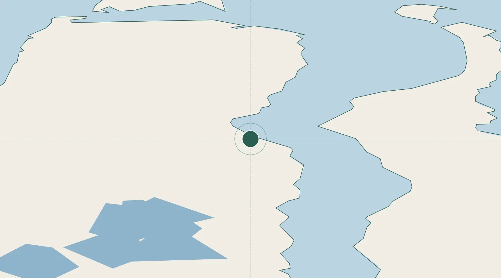
Location
Nearby Logistics Neighbours
Cities
- 1Kharasavey191 km
- 2Dikson377 km
- 3Yamburg383 km
- 4Tazovskiy494 km
- 5Salekhard570 km
Ports
- 1Port Dikson378 km
- 2Dudinka564 km
- 3Igarka705 km
- 4Mezen1269 km
- 5Ostrovnoy Gremikha1290 km
Airports
- 1Sabetta International Airport4 km
- 2Utrenniy Airport83 km
- 3Bovanenkovo Airport172 km
- 4Dikson Airport376 km
- 5Yamburg Airport381 km
DatabookThe Record of Consolidated Knowledge
Russia beyond logistics?