Transport Functions
Port
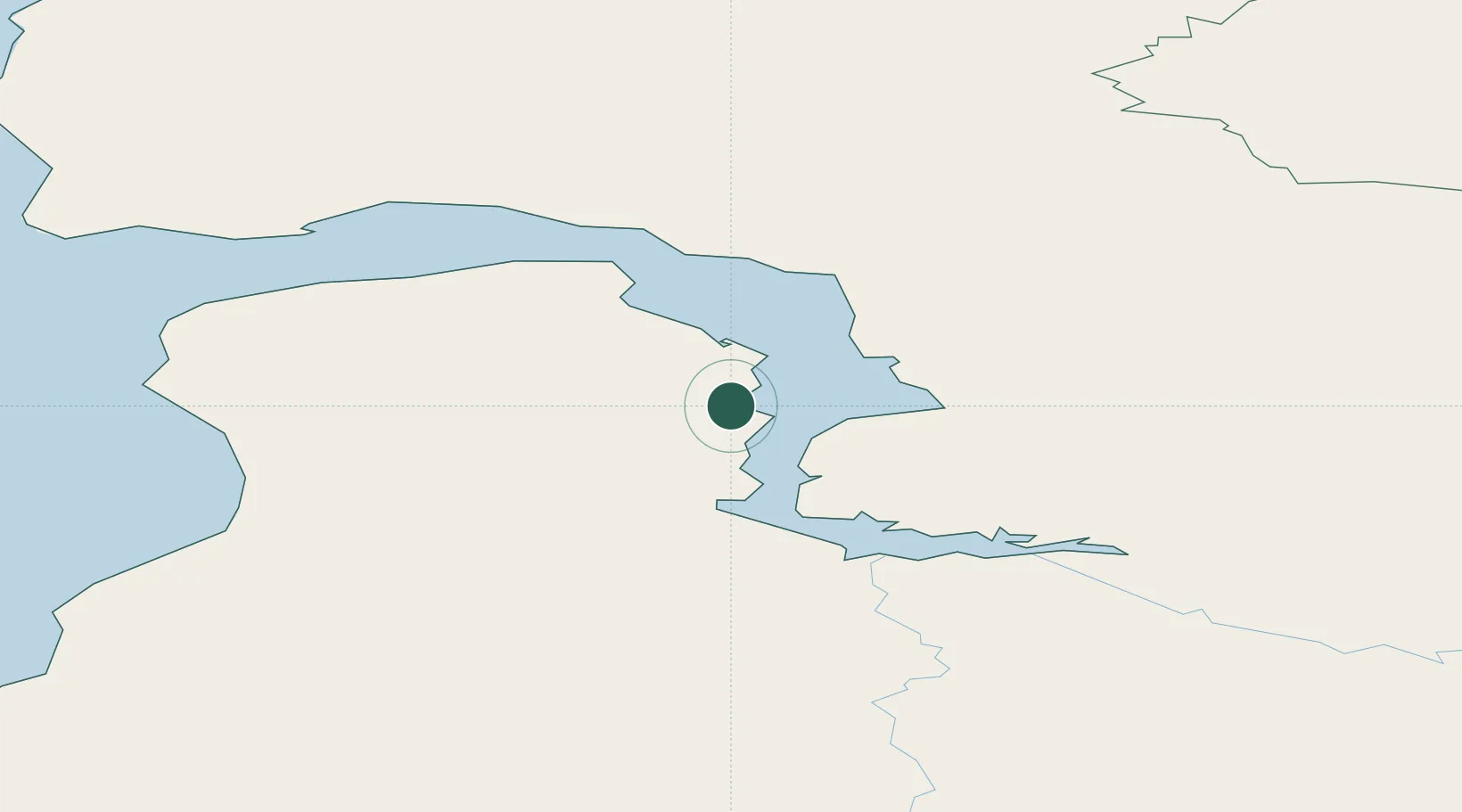
Hub Profile
Region
Yamalo-Nenets
Population
63
Time zone
Asia/Yekaterinburg
Location
Nearby Logistics Neighbours
Cities
- 1Tazovskiy112 km
- 2Sabetta383 km
- 3Salekhard491 km
- 4Kharasavey508 km
- 5Dikson593 km
Ports
- 1Dudinka382 km
- 2Igarka405 km
- 3Port Dikson593 km
- 4Mezen1436 km
- 5Ostrovnoy Gremikha1532 km
Airports
- 1Yamburg Airport91 km
- 2Novy Urengoy Airport248 km
- 3Utrenniy Airport323 km
- 4Nadym Airport367 km
- 5Sabetta International Airport381 km
Trade Zones
DatabookThe Record of Consolidated Knowledge
Russia beyond logistics?