Medium airport · Russia
Sabetta International AirportUSDA
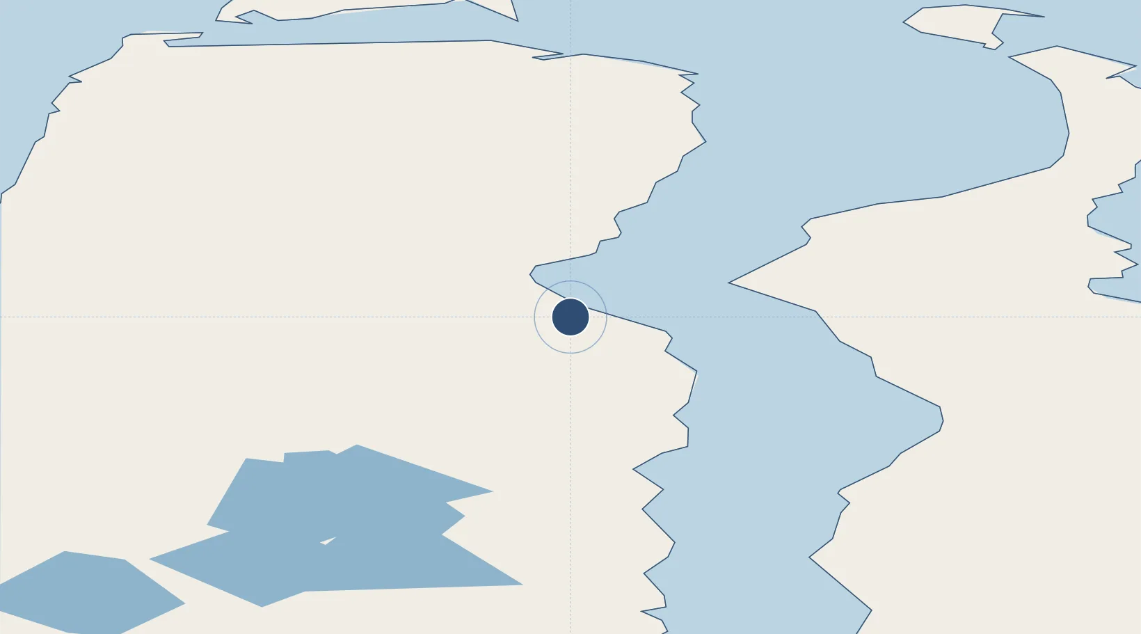
71.2192°, 72.0522°
8,858 ft
Longest runway
1
Runways
46 ft
Elevation
Runway & Layout

Runways · 1
| Runway | Dimensions | Surface | True heading | Lit |
|---|---|---|---|---|
| 04/22 | 8,858 × 151ft | Concrete | — | ✓ |
Airport Specifications
IATA code
SBT
ICAO code
USDA
Airport class
Medium airport
Scheduled service
Yes
Runway surface
Concrete
Served city
Sabetta
Location
Nearby Logistics Neighbours
Airports
- 1Utrenniy Airport83 km
- 2Bovanenkovo Airport169 km
- 3Yamburg Airport378 km
- 4Dikson Airport379 km
- 5Vorkuta Sovetskiy Air Base516 km
Cities
- 1Sabetta4 km
- 2Kharasavey190 km
- 3Yamburg381 km
- 4Dikson381 km
- 5Tazovskiy492 km
Ports
- 1Port Dikson381 km
- 2Dudinka565 km
- 3Igarka704 km
- 4Mezen1267 km
- 5Ostrovnoy Gremikha1289 km
DatabookThe Record of Consolidated Knowledge
Russia beyond logistics?