Transport Functions
Rail
Road
Airport
Hub Profile
Place type
Regional capital
Region
Kaluga Oblast
Population
340,851
Time zone
Europe/Moscow
Elevation
208 m
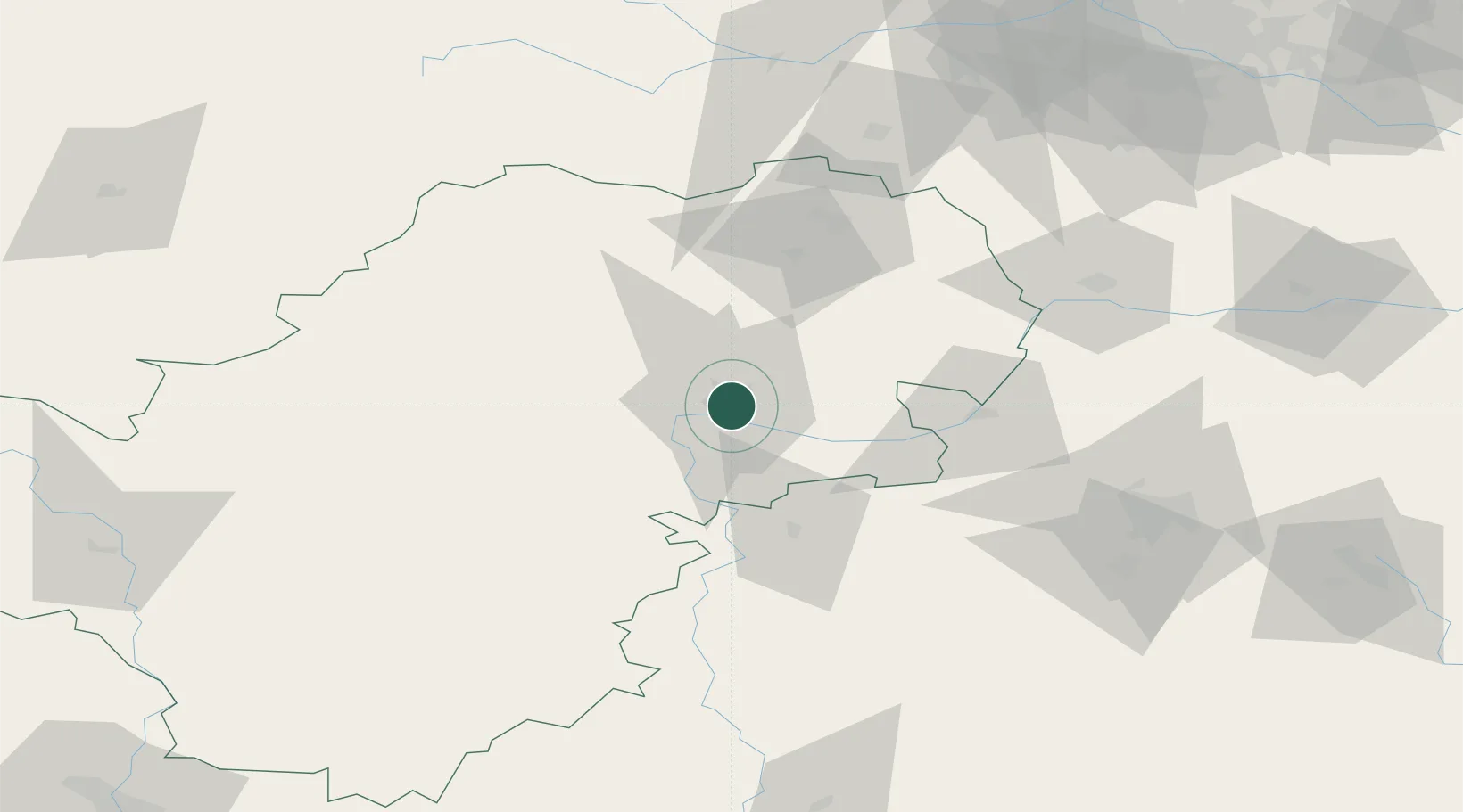
Location
Nearby Logistics Neighbours
Ports
- 1Lomonosov715 km
- 2Kronshtadt720 km
- 3Ust Luga746 km
- 4Primorsk793 km
- 5Gavan Vysotsk817 km
Airports
- 1Grabtsevo Airport6 km
- 2Oreshkovo Airfield15 km
- 3Yermolino Air Base80 km
- 4Kubinka Air Base122 km
- 5Shaykovka Air Base128 km
Trade Zones
DatabookThe Record of Consolidated Knowledge
Russia beyond logistics?