UN/LOCODE hub · Russia
RUDYA

Dyad'kovo

56.4667°, 37.4500°
2
Transport functions

Transport Functions

Rail
Road
UN/LOCODE

Hub Profile

Place type
Populated place
GeoNames
Region
Moscow Oblast
GeoNames
Time zone
Europe/Moscow
GeoNames
Elevation
145 m
GeoNames

Location

Location of RUDYA
Natural Earth 10m (public domain) · Moscow Oblast · RUDYA · 56.47, 37.45GoogleOSMYandex

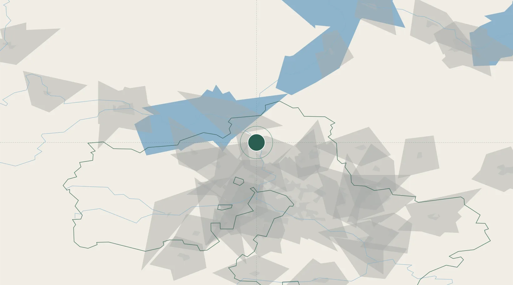
Nearby Logistics Neighbours

Cities
  1. 1Dmitrov14 km
  2. 2Dubna37 km
  3. 3Solnechnogorsk43 km
  4. 4Sergiyev Posad44 km
  5. 5Kimry47 km
Nearest neighbours — logibook spatial index (haversine) over the source coordinates
Ports
  1. 1Lomonosov591 km
  2. 2Kronshtadt595 km
  3. 3Ust Luga644 km
  4. 4Sillamae660 km
  5. 5Primorsk671 km
Nearest neighbours — logibook spatial index (haversine) over the source coordinates
Airports
  1. 1Sheremetyevo International Airport55 km
  2. 2Chkalovskiy Air Base76 km
  3. 3Vnukovo International Airport98 km
  4. 4Myachkovo Airfield106 km
  5. 5Kubinka Air Base107 km
Nearest neighbours — logibook spatial index (haversine) over the source coordinates
DatabookThe Record of Consolidated Knowledge
Russia beyond logistics?
Browse databook

All Sources

LocationsUN/LOCODE
UN/LOCODE — free
Portsthe NGA World Port Index
Public domain (US gov)
AirportsOurAirports
Public domain
Trade Zonesthe World Bank SEZ database
CC BY 4.0
Trade ZonesOpen Zone Map
CC BY
← Russia locations