Transport Functions
Port
Rail
Road
Hub Profile
Place type
Provincial seat
Region
Moscow Oblast
Population
58,891
Time zone
Europe/Moscow
Elevation
202 m
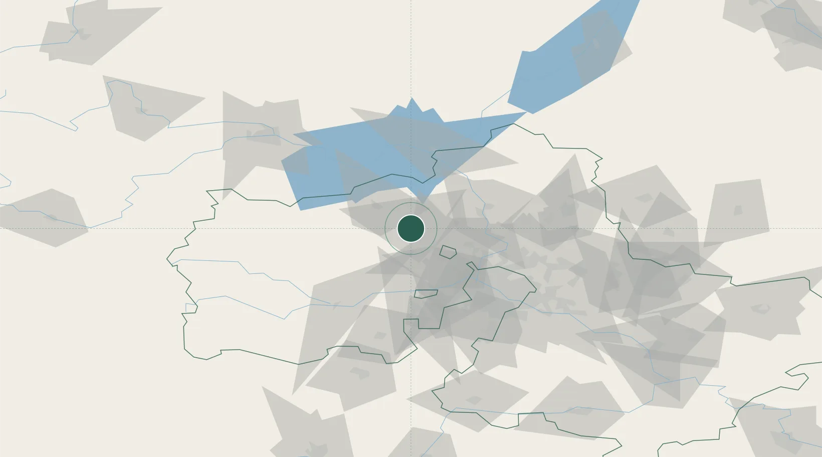
Location
Nearby Logistics Neighbours
Cities
- 1Istra30 km
- 2Skhodnya33 km
- 3Zelenograd34 km
- 4Lobnya37 km
- 5Dmitrov39 km
Ports
- 1Lomonosov593 km
- 2Kronshtadt597 km
- 3Ust Luga640 km
- 4Sillamae654 km
- 5Primorsk673 km
Airports
- 1Sheremetyevo International Airport36 km
- 2Kubinka Air Base67 km
- 3Vnukovo International Airport68 km
- 4Chkalovskiy Air Base76 km
- 5Myachkovo Airfield94 km
DatabookThe Record of Consolidated Knowledge
Russia beyond logistics?