Transport Functions
Rail
Road
Hub Profile
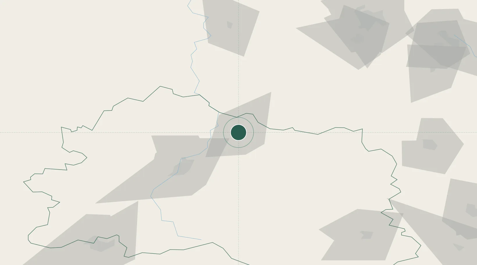
Place type
Provincial seat
Region
Oryol oblast
Population
47,609
Time zone
Europe/Moscow
Elevation
168 m
Location
Nearby Logistics Neighbours
Ports
- 1Mariupol691 km
- 2Taganrog696 km
- 3Rostov-Na-Donu715 km
- 4Azov716 km
- 5Berdyansk725 km
Airports
- 1Oreshkovo Airfield137 km
- 2Grabtsevo Airport143 km
- 3Bryansk International Airport158 km
- 4Kursk East Airport170 km
- 5Shaykovka Air Base179 km
Trade Zones
DatabookThe Record of Consolidated Knowledge
Russia beyond logistics?