Transport Functions
Rail
Road
Hub Profile
Place type
Provincial seat
Region
Leningradskaya Oblast'
Population
17,366
Time zone
Europe/Moscow
Elevation
108 m
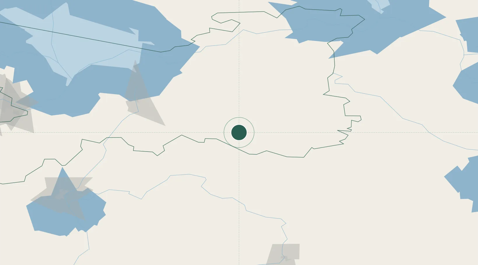
Location
Nearby Logistics Neighbours
Ports
- 1Lomonosov235 km
- 2Kronshtadt235 km
- 3Primorsk307 km
- 4Ust Luga312 km
- 5Vyborg315 km
Airports
- 1Krechevitsy Air Base169 km
- 2Pushkin Airport199 km
- 3Khotilovo Air Base202 km
- 4Pulkovo Airport205 km
- 5Levashovo Air Base216 km
Trade Zones
DatabookThe Record of Consolidated Knowledge
Russia beyond logistics?