Transport Functions
Rail
Road
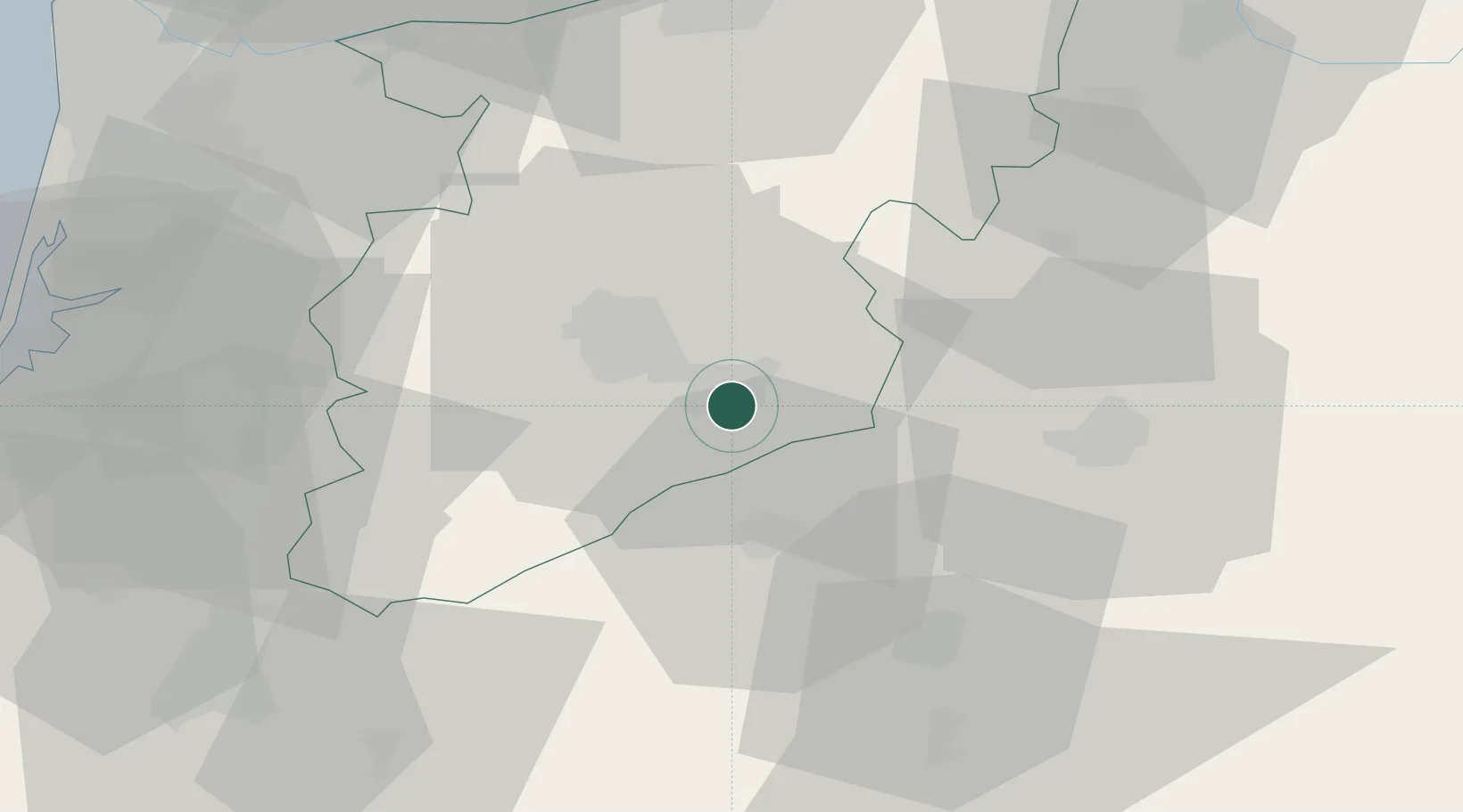
Hub Profile
Place type
Provincial seat
Region
Viseu
Population
8,895
Time zone
Europe/Lisbon
Elevation
543 m
Location
Nearby Logistics Neighbours
Cities
- 1Vilar Seco10 km
- 2Nelas10 km
- 3Viseu14 km
- 4Abraveses15 km
- 5Canas de Senhorim16 km
Ports
- 1Aveiro75 km
- 2Oporto97 km
- 3Porto De Leixoes102 km
- 4Figueira Da Foz105 km
- 5Viana Do Castelo151 km
Airports
Trade Zones
DatabookThe Record of Consolidated Knowledge
Portugal beyond logistics?