Transport Functions
Rail
Road
Airport
Hub Profile
Place type
Provincial seat
Region
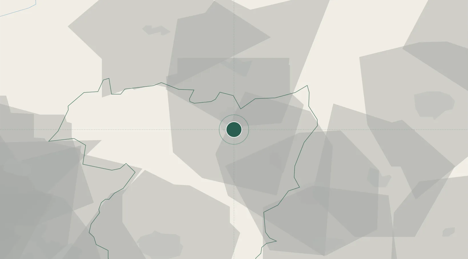
Vila Real
Population
17,535
Time zone
Europe/Lisbon
Elevation
362 m
Location
Nearby Logistics Neighbours
Ports
- 1Viana Do Castelo114 km
- 2Vigo117 km
- 3Oporto119 km
- 4Porto De Leixoes120 km
- 5Marin126 km
Airports
- 1Vila Real Airport55 km
- 2Bragança Airport65 km
- 3Braga Municipal Aerodrome83 km
- 4Vilar de Luz Airfield101 km
- 5Vigo Airport111 km
Trade Zones
- 1Zona Livre Tecnológica Masotinhos119 km
- 2Zona Franca de Vigo120 km
- 3VGP Park Santa Maria da Feira128 km
- 4Depósito Franco de La Coruña196 km
- 5Depósito Franco de Gijón250 km
DatabookThe Record of Consolidated Knowledge
Portugal beyond logistics?